
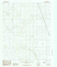
1965 Map of Happy
USGS Topo · Published 1968About this map
Happy serves as the focal point of this Panhandle landscape, situated on the county line separating Randall and Swisher Counties. The town's grid is oriented against the Atchison Topeka and Santa Fe railroad, which cuts a straight path south toward the settlement of Kaffir. The terrain is characterized by the distinct drainages of Happy Draw and North Tule Draw, which interrupt the otherwise flat high plains.
Find a feature on this map
10 named features on this map. Tap any name to fly to it.
Don’t see what you’re looking for? This feature index may not catch every label — zoom into the map to look around manually.
Map Details
Editions of this 1965 Happy Map
This is the sole edition of this map. No revisions or reprints were ever made.
Other maps of this area

1954 · Plainview
USGS Topo · 1:250,000

1958 · Plainview
USGS Topo · 1:250,000

1960 · Canyon
USGS Topo · 1:62,500

1960 · Wayside
USGS Topo · 1:62,500

1965 · Tulia
USGS Topo · 1:24,000

1965 · Lakeview
USGS Topo · 1:24,000

1966 · Tulia NW
USGS Topo · 1:24,000

1968 · Tule Lake
USGS Topo · 1:24,000

1969 · Tule Lake NW
USGS Topo · 1:24,000
1984 · Ogg
USGS Topo · 1:24,000