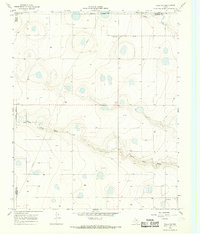
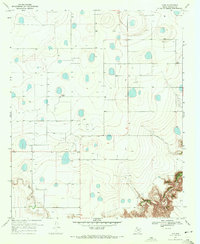
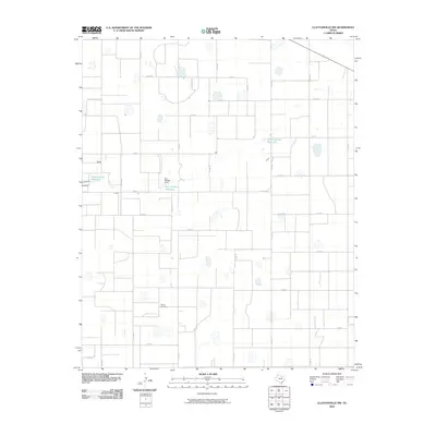
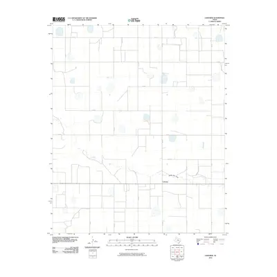
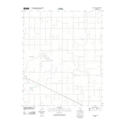
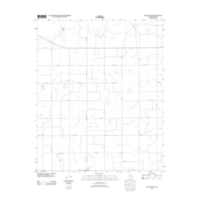
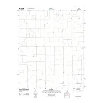
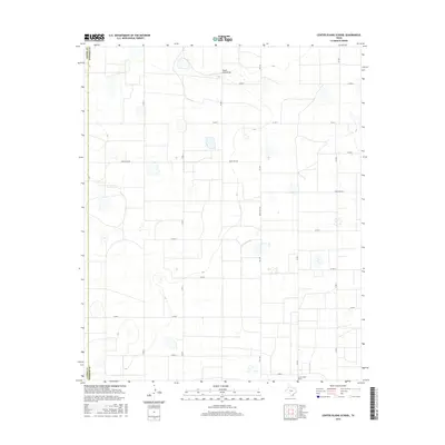
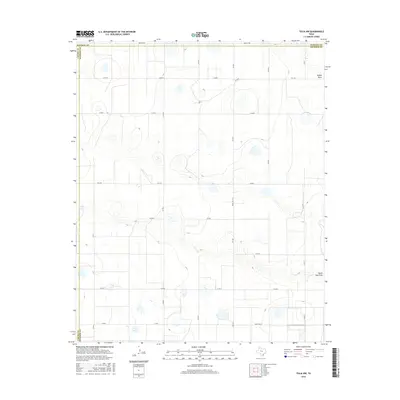
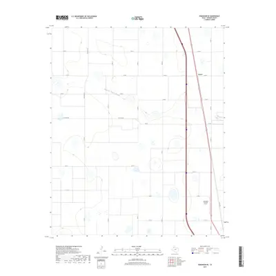
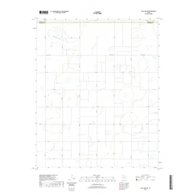
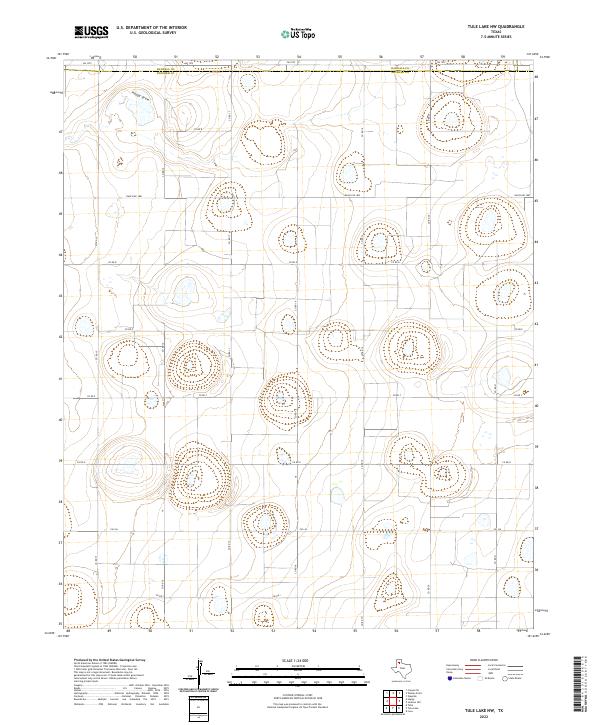
1966 Map of Tulia NW
USGS Topo · Published 1968About this map
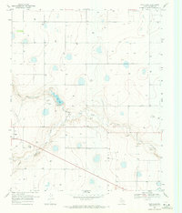
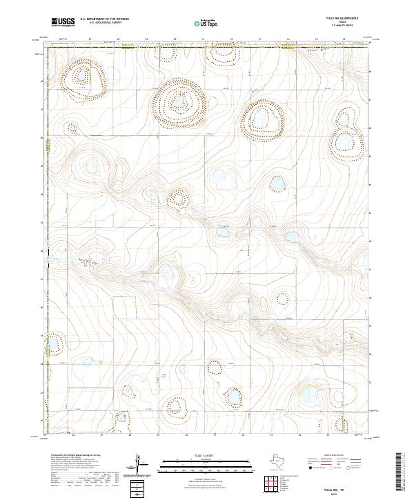
The High Plains landscape of the Texas Panhandle unfolds across this mid-1960s survey, defined by the drainage patterns of North Tule Draw and Happy Draw. This era in Swisher County shows a sparse agricultural and industrial footprint, characterized by the introduction of energy infrastructure such as a long-distance Pipeline and a Radio Tower. The map documents the intersection of three counties, where the boundaries of Randall, Castro, and Swisher meet. The terrain is marked by numerous natural depressions and small basins typical of the Llano Estacado, providing a clear record of the area's hydrology before modern land-use changes. Near the southern edge, a Substation serves as a lone marker of utility development in this primarily rural expanse.
Find a feature on this map
7 named features on this map. Tap any name to fly to it.
Don’t see what you’re looking for? This feature index may not catch every label — zoom into the map to look around manually.
Map Details
Editions of this 1966 Tulia NW Map
This is the sole edition of this map. No revisions or reprints were ever made.
Historical Maps of Randall County Through Time
66 maps found
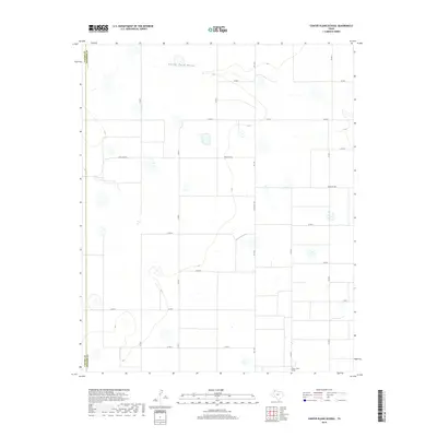
1965 Center Plains School
Swisher County, TX
1965 Edmonson NE
Swisher County, TX
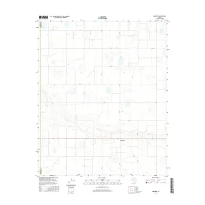
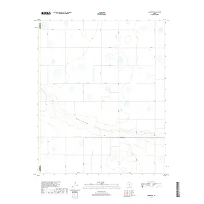
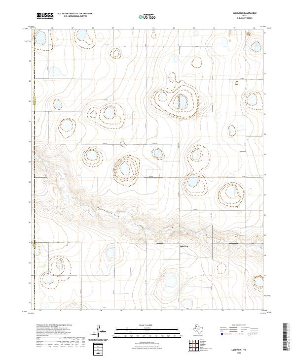
1965 Lakeview
Swisher County, TX
1966 Tulia NW
Swisher County, TX
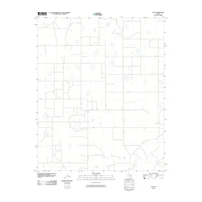
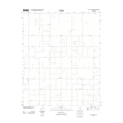
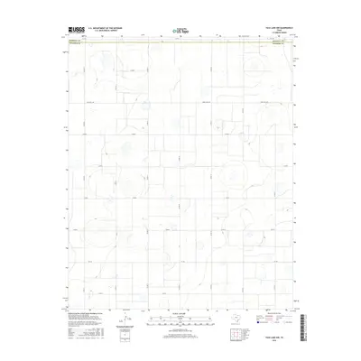
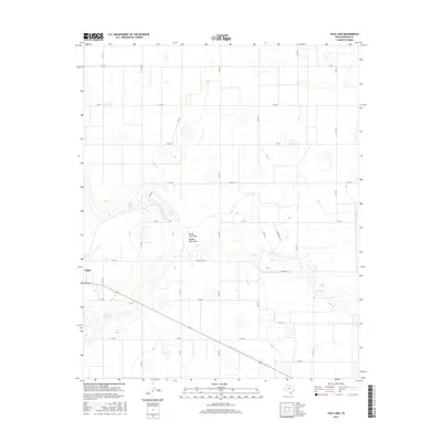
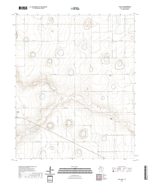
1968 Tule Lake
Swisher County, TX
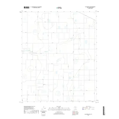
1969 Claytonville NW
Swisher County, TX
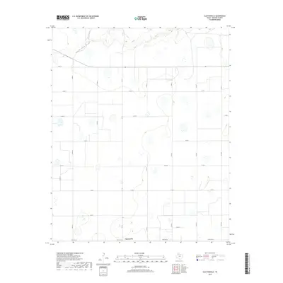
1969 Claytonville
Swisher County, TX
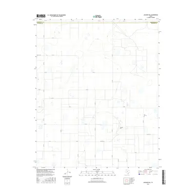
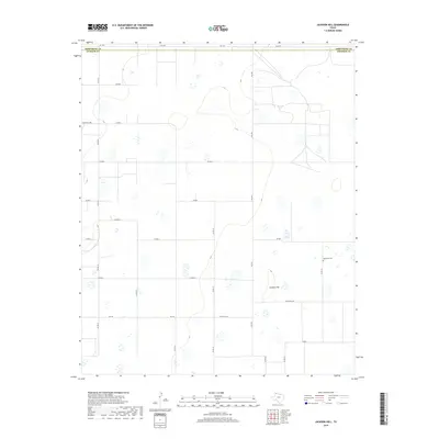
1969 Jackson Hill
Swisher County, TX
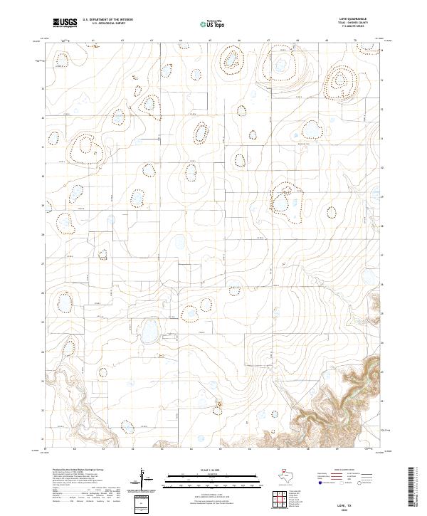
1969 Love
Swisher County, TX
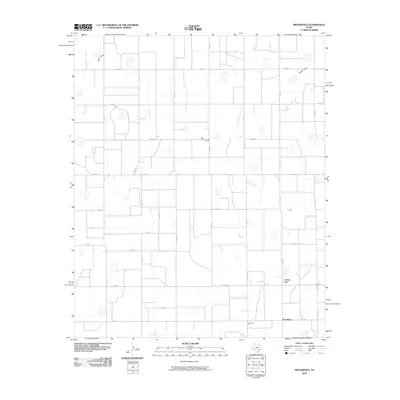
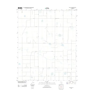
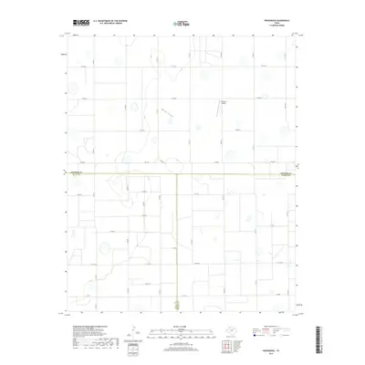
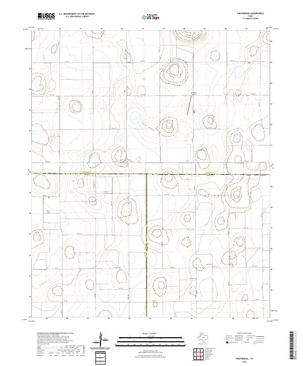
1969 Providence
Swisher County, TX
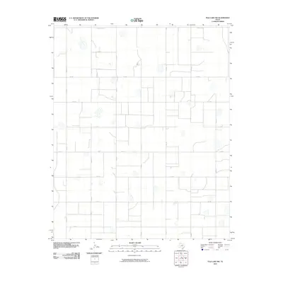
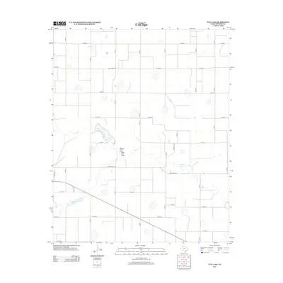
1969 Tule Lake NW
Swisher County, TX
2010 Center Plains School
Swisher County, TX
2010 Claytonville NW
Swisher County, TX
2010 Claytonville
Swisher County, TX
2010 Edmonson NE
Swisher County, TX
2010 Jackson Hill
Swisher County, TX
2010 Lakeview
Swisher County, TX
2010 Love
Swisher County, TX
2010 Providence
Swisher County, TX
2010 Tule Lake NW
Swisher County, TX
2010 Tule Lake
Swisher County, TX
2010 Tulia NW
Swisher County, TX
2012 Center Plains School
Swisher County, TX
2012 Claytonville NW
Swisher County, TX
2012 Claytonville
Swisher County, TX
2012 Edmonson NE
Swisher County, TX
2012 Jackson Hill
Swisher County, TX

2012 Lakeview
Swisher County, TX
2012 Love
Swisher County, TX
2012 Providence
Swisher County, TX
2012 Tule Lake NW
Swisher County, TX
2012 Tule Lake
Swisher County, TX
2012 Tulia NW
Swisher County, TX
2016 Center Plains School
Swisher County, TX
2016 Claytonville NW
Swisher County, TX
2016 Claytonville
Swisher County, TX
2016 Edmonson NE
Swisher County, TX
2016 Jackson Hill
Swisher County, TX
2016 Lakeview
Swisher County, TX

2016 Love
Swisher County, TX

2016 Providence
Swisher County, TX
2016 Tule Lake NW
Swisher County, TX
2016 Tule Lake
Swisher County, TX
2016 Tulia NW
Swisher County, TX
2019 Center Plains School
Swisher County, TX
2019 Claytonville NW
Swisher County, TX
2019 Claytonville
Swisher County, TX
2019 Edmonson NE
Swisher County, TX
2019 Jackson Hill
Swisher County, TX
2019 Lakeview
Swisher County, TX

2019 Love
Swisher County, TX
2019 Providence
Swisher County, TX
2019 Tule Lake NW
Swisher County, TX
2019 Tule Lake
Swisher County, TX
2019 Tulia NW
Swisher County, TX
2022 Center Plains School
Swisher County, TX
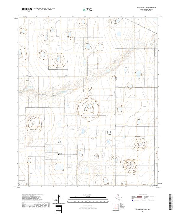
2022 Claytonville NW
Swisher County, TX
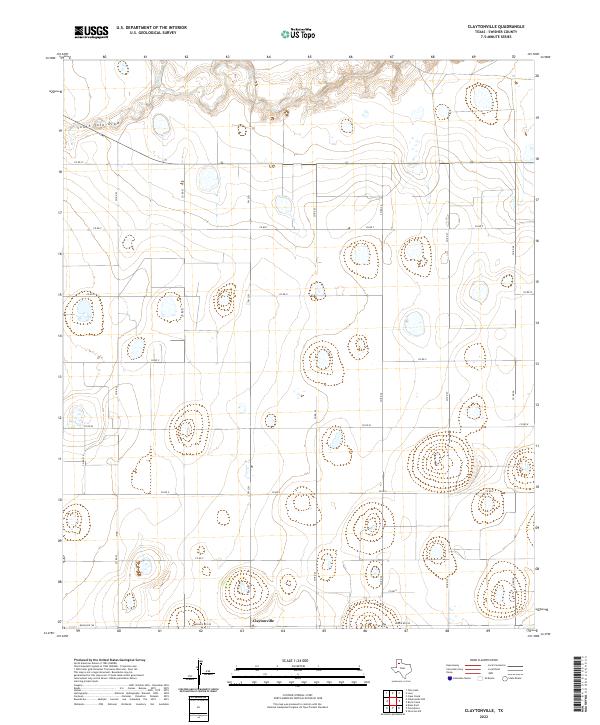
2022 Claytonville
Swisher County, TX
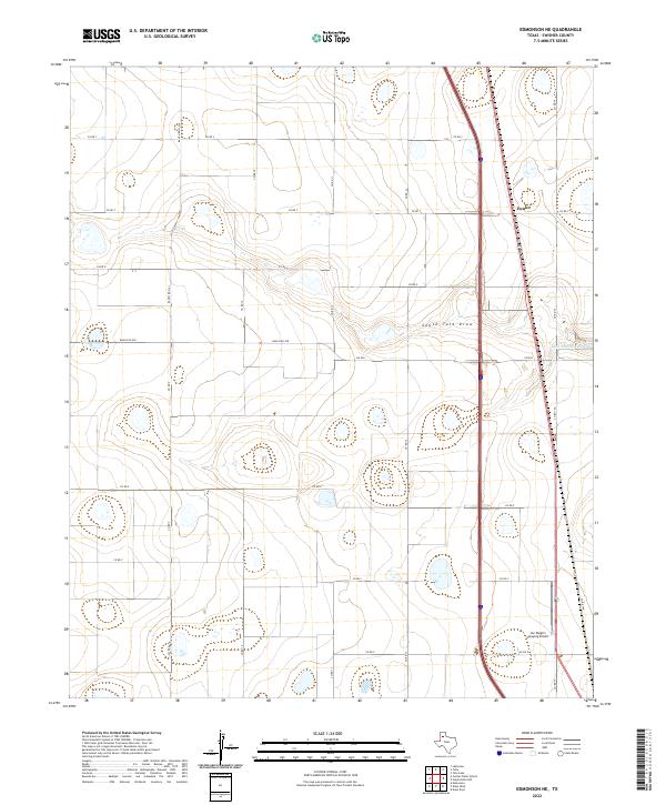
2022 Edmonson NE
Swisher County, TX
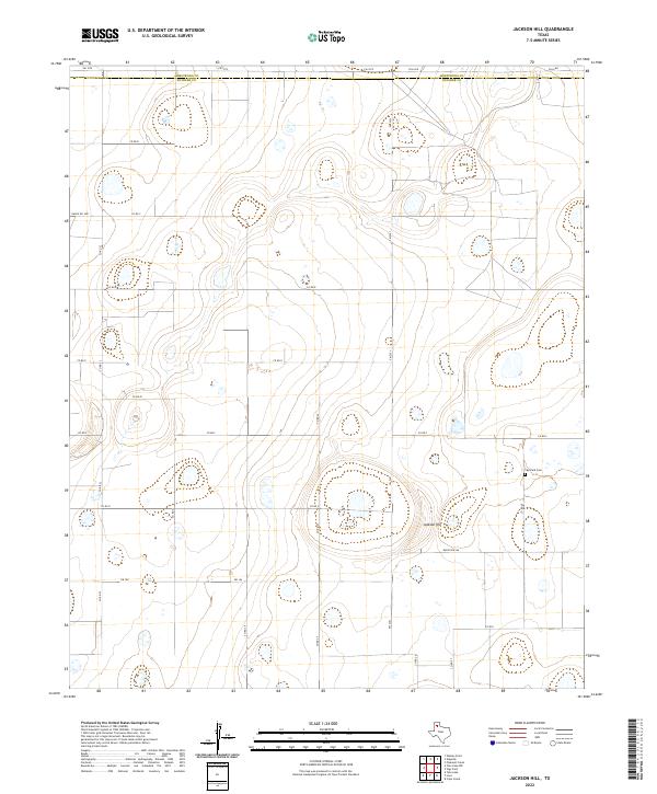
2022 Jackson Hill
Swisher County, TX
2022 Lakeview
Swisher County, TX
2022 Love
Swisher County, TX
2022 Providence
Swisher County, TX
2022 Tule Lake NW
Swisher County, TX
2022 Tule Lake
Swisher County, TX
2022 Tulia NW
Swisher County, TX