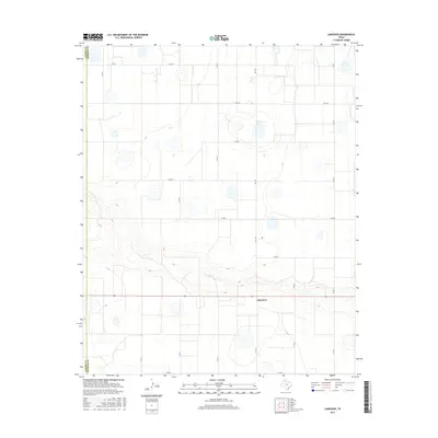
2016 Map of Lakeview
USGS Topo · Published 2016About this map
The community of Lakeview sits at the heart of this High Plains landscape, situated along the county line where Castro Co meets Swisher Co. In this part of the Texas Panhandle, the terrain is defined by a grid-like network of rural routes, including Fm 1424, Co Rd 4, and Co Rd J. The map reveals a distinct pattern of depressions and intermittent wetlands characteristic of the Llano Estacado, punctuating the agricultural blocks that dominate the region. Beyond the few clustered structures near the central intersection, the land remains largely open, marked only by the boundary between the two counties and the precise lines of county roads like Co Rd 7 and Co Rd N that section the territory for local ranching and farming operations.
Find a feature on this map
16 named features on this map. Tap any name to fly to it.
Don’t see what you’re looking for? This feature index may not catch every label — zoom into the map to look around manually.
Map Details
Editions of this 2016 Lakeview Map
This is the sole edition of this map. No revisions or reprints were ever made.
Other maps of this area

1954 · Plainview
USGS Topo · 1:250,000

1954 · Clovis
USGS Topo · 1:250,000

1958 · Clovis
USGS Topo · 1:250,000

1958 · Plainview
USGS Topo · 1:250,000

1965 · Hart
USGS Topo · 1:24,000

1965 · Edmonson NE
USGS Topo · 1:24,000

1965 · Tulia
USGS Topo · 1:24,000

1965 · Lakeview
USGS Topo · 1:24,000

1965 · Happy
USGS Topo · 1:24,000

1965 · Nazareth
USGS Topo · 1:24,000