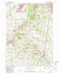
1974 Map of Lakeville
USGS Topo · Published 1981About this map
The glacial lakes and rolling farmsteads of southern St. Joseph County are captured here during a period of transition in the mid-1970s. The expanding footprint of Potato Creek State Recreation Area dominates the western landscape, centered around Potato Lake and the high ground of Vader Hill. In the north, the residential reach of South Bend is evident in Gilmer Park and the settlement of Nutwood, while the village of Lakeville remains a distinct anchor in the southeast.
Find a feature on this map
70 named features on this map. Tap any name to fly to it.
Don’t see what you’re looking for? This feature index may not catch every label — zoom into the map to look around manually.
Map Details
Editions of this 1974 Lakeville Map
2 editions found
Other maps of this area

1953 · Chicago
USGS Topo · 1:250,000

1957 · Chicago
USGS Topo · 1:250,000

1958 · South Bend East
USGS Topo · 1:24,000

1958 · South Bend West
USGS Topo · 1:24,000

1958 · Lydick
USGS Topo · 1:24,000

1958 · Bremen
USGS Topo · 1:24,000

1958 · La Paz
USGS Topo · 1:24,000

1958 · Walkerton
USGS Topo · 1:24,000

1958 · North Liberty
USGS Topo · 1:24,000

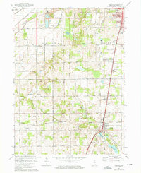
1958 · Lakeville
USGS Topo · 1:24,000