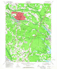
1954 Map of Lakewood
USGS Topo · Published 1967About this map
Lakewood is the center of this mid-century New Jersey landscape, characterized by its dense grid of streets and the prominent campus of Georgian Court College alongside Lake Carasaljo. The town's transition from an established community to a regional hub is evident in its institutional landscape, including several local schools and churches such as Hope Ch and Mt Sinai Ch. Surrounding the urban core, smaller settlements like Silverton, Lanes Mills, and Cedarwood Park dots the countryside, often centered around the many branches of the Metedeconk River.
Find a feature on this map
89 named features on this map. Tap any name to fly to it.
Don’t see what you’re looking for? This feature index may not catch every label — zoom into the map to look around manually.
Map Details
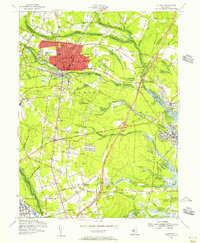
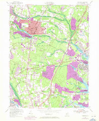
Editions of this 1954 Lakewood Map
3 editions found
Other maps of this area

1884 · Whitings
USGS Topo · 1:62,500

1888 · Barnegat
USGS Topo · 1:62,500

1888 · Asbury Park
USGS Topo · 1:62,500

1888 · Cassville
USGS Topo · 1:62,500

1888 · Whitings
USGS Topo · 1:62,500

1893 · Asbury Park
USGS Topo · 1:62,500

1893 · Barnegat
USGS Topo · 1:62,500

1894 · Cassville
USGS Topo · 1:62,500

1898 · Barnegat
USGS Topo · 1:62,500

1900 · Cassville
USGS Topo · 1:62,500