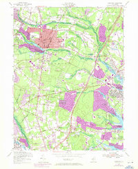
1954 Map of Lakewood
USGS Topo · Published 1972About this map
The Lakewood area of the mid-1950s is defined by the convergence of the North Branch and South Branch Metedeconk Rivers. This landscape is centered on the established community near Lake Carasaljo and Lake Manetta, where institutions like Georgian Court College and Clifton Ave Sch anchored the town's social fabric. The arrival of the Garden State Parkway and State Highway 70 began transforming the rural pinelands and small hamlets like Seven Stars and Lanes Mills into a more connected suburban corridor.
Find a feature on this map
56 named features on this map. Tap any name to fly to it.
Don’t see what you’re looking for? This feature index may not catch every label — zoom into the map to look around manually.
Map Details
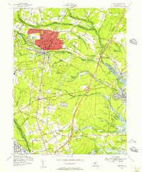
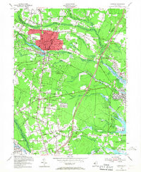
Editions of this 1954 Lakewood Map
3 editions found
Other maps of this area

1884 · Whitings
USGS Topo · 1:62,500

1888 · Barnegat
USGS Topo · 1:62,500

1888 · Asbury Park
USGS Topo · 1:62,500

1888 · Cassville
USGS Topo · 1:62,500

1888 · Whitings
USGS Topo · 1:62,500

1893 · Asbury Park
USGS Topo · 1:62,500

1893 · Barnegat
USGS Topo · 1:62,500

1894 · Cassville
USGS Topo · 1:62,500

1898 · Barnegat
USGS Topo · 1:62,500

1900 · Cassville
USGS Topo · 1:62,500