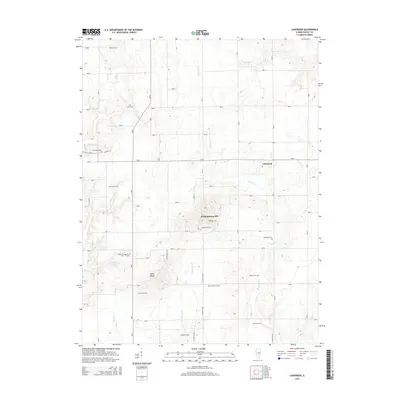
2015 Map of Lakewood
USGS Topo · Published 2015About this map
Williamsburg Hill rises above the surrounding Shelby County terrain, serving as a prominent landmark in this largely agricultural landscape. The village of Lakewood anchors the northeast portion of the map, while the rest of the sheet is marked by a high density of rural cemeteries, suggesting a deeply rooted genealogy for the local community. Significant family names and early settlements are preserved through sites like Bateman Cem, Corley Cem, and McCoy Cem. The landscape is drained by several waterways, including Becks Cr and Mitchell Cr, which wind through the township sections. This 2015 survey provides a clear view of the modern land divisions and the enduring placement of religious and memorial sites such as New Hope Cem and Mount Olive Cem.
Find a feature on this map
24 named features on this map. Tap any name to fly to it.
Don’t see what you’re looking for? This feature index may not catch every label — zoom into the map to look around manually.
Map Details
Editions of this 2015 Lakewood Map
This is the sole edition of this map. No revisions or reprints were ever made.
Other maps of this area

1941 · St. Elmo
USGS Topo · 1:62,500

1942 · Shelbyville
USGS Topo · 1:62,500

1944 · Ramsey
USGS Topo · 1:62,500

1945 · St. Elmo
USGS Topo · 1:62,500

1946 · Shelbyville
USGS Topo · 1:62,500

1946 · Ramsey
USGS Topo · 1:62,500

1947 · Pana
USGS Topo · 1:62,500

1949 · Pana
USGS Topo · 1:62,500

1958 · Decatur
USGS Topo · 1:250,000

1961 · Decatur
USGS Topo · 1:250,000