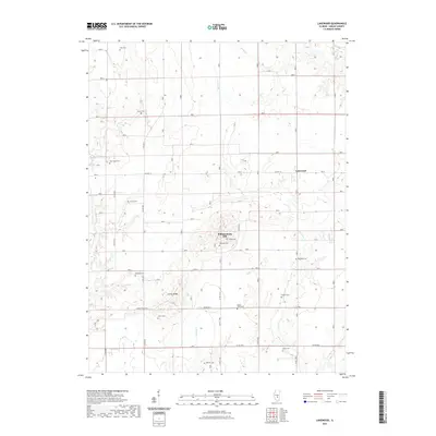
2021 Map of Lakewood
USGS Topo · Published 2021About this map
Williamsburg Hill and the village of Lakewood anchor this survey of southern Shelby County, Illinois. The landscape is defined by the dendritic drainage patterns of Mitchell Cr, Polecat Cr, and Becks Cr, which carve through the prairie terrain. For genealogists and local historians, this map provides a dense record of early rural burial grounds scattered across the townships. Family-named sites like Eller Cem, Liston Cem, and McCoy Cem are clearly marked, alongside larger congregational sites such as New Hope Cem and Mount Olive Cem. The infrastructure follows the traditional section lines of the Public Land Survey System, with roads like Co Hwy 12 and Corley Ridge Rd providing access to the elevated terrain of Corley Ridge.
Find a feature on this map
33 named features on this map. Tap any name to fly to it.
Don’t see what you’re looking for? This feature index may not catch every label — zoom into the map to look around manually.
Map Details
Editions of this 2021 Lakewood Map
This is the sole edition of this map. No revisions or reprints were ever made.
Other maps of this area

1941 · St. Elmo
USGS Topo · 1:62,500

1942 · Shelbyville
USGS Topo · 1:62,500

1944 · Ramsey
USGS Topo · 1:62,500

1945 · St. Elmo
USGS Topo · 1:62,500

1946 · Shelbyville
USGS Topo · 1:62,500

1946 · Ramsey
USGS Topo · 1:62,500

1947 · Pana
USGS Topo · 1:62,500

1949 · Pana
USGS Topo · 1:62,500

1958 · Decatur
USGS Topo · 1:250,000

1961 · Decatur
USGS Topo · 1:250,000