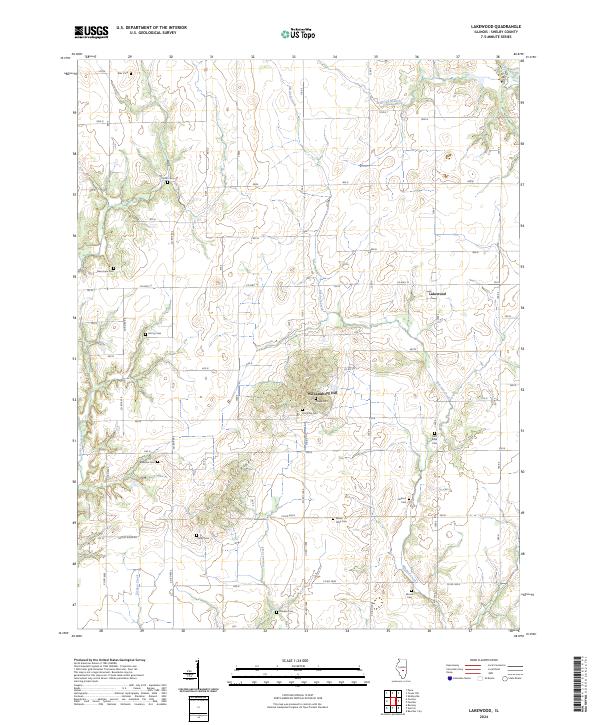
2024 Map of Lakewood
USGS Topo · Published 2024About this map
Williamsburg Hill and the elevated terrain of Corley Ridge dominate this Shelby County landscape, providing a high-ground contrast to the winding drainages of Mitchell Creek and Becks Creek. The small settlement of Lakewood serves as a central point in an area defined by its dense concentration of family and community burial grounds, reflecting the deep genealogical roots of the region. Scattered throughout the townships are numerous resting places including New Hope Cem, Horsman Cem, and Red Bank Cem, often situated near small watercourses like Rocky Branch or Polecat Creek. The rural infrastructure is largely comprised of a grid-like network of county roads, such as Co RD 400 N, which navigate around the natural obstacles of the ridges and the several branches of Section Creek.
Find a feature on this map
27 named features on this map. Tap any name to fly to it.
Don’t see what you’re looking for? This feature index may not catch every label — zoom into the map to look around manually.
Map Details
Editions of this 2024 Lakewood Map
This is the sole edition of this map. No revisions or reprints were ever made.
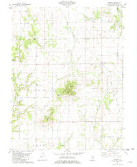
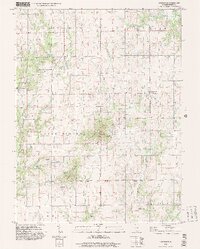
Historical Maps of Williamsburg Hill Through Time
3 maps found