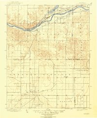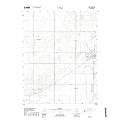
1966 Map of Lakin
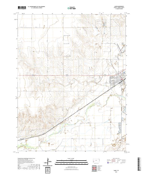
USGS Topo · Published 1978About this map
The Arkansas River valley defines this mid-1960s landscape, illustrating the critical role of water and rail in Western Kansas. The Lakin townsite serves as a hub, while the smaller settlement of Hartland sits further west, accompanied by the Hartland Cem. Industrial development is prominent across the plains, with a dense network of gas wells, pipelines, and a Radio Tower Compressor Station supporting the energy sector. The river corridor is flanked by the Atchison Topeka and Santa Fe railroad, which historically dictated the growth of these prairie communities. Evidence of irrigation and agriculture is clear through named ditches and creeks like Amazon Creek and Sand Creek, while the Lakin Landing Field indicates the transition to aerial transport and survey in the post-war era.
Find a feature on this map
23 named features on this map. Tap any name to fly to it.
Don’t see what you’re looking for? This feature index may not catch every label — zoom into the map to look around manually.
Map Details
Editions of this 1966 Lakin Map
2 editions found
Historical Maps of Lakin Through Time
7 maps found