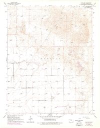
1966 Map of Lakin SW
USGS Topo · Published 1978About this map
The Arkansas river valley defines the northern edge of this territory, where the Southside Ditch provides vital irrigation to the surrounding plains. The landscape is characterized by extensive Sand Dunes that roll across the high ground, punctuated by a dense network of energy infrastructure. Numerous Gas Well locations are scattered throughout the Kendall boundary, illustrating the significant industrial footprint of the mid-1960s. Rural life is anchored by the North Star Sch in the western reaches, while a secluded Landing Strip and a Claypit further south indicate the varied land use of this Kearny County landscape. A major Pipeline traverses the terrain, connecting the dispersed extraction points across the sandy expanses. In the southeast, Bear Cr cuts through the plains, offering a rare hydrological feature in an otherwise dry and dune-heavy environment.
Find a feature on this map
10 named features on this map. Tap any name to fly to it.
Don’t see what you’re looking for? This feature index may not catch every label — zoom into the map to look around manually.
Map Details
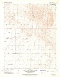
Editions of this 1966 Lakin SW Map
2 editions found
Other maps of this area

1891 · Larned
USGS Topo · 1:125,000

1900 · Syracuse
USGS Topo · 1:125,000

1900 · Lakin
USGS Topo · 1:125,000

1920 · Syracuse
USGS Topo · 1:125,000

1955 · Dodge City
USGS Topo · 1:250,000

1958 · Dodge City
USGS Topo · 1:250,000

1959 · Dodge City
USGS Topo · 1:250,000

1959 · Ulysses NW
USGS Topo · 1:24,000

1959 · Big Bow NE
USGS Topo · 1:24,000

1959 · Ulysses NE
USGS Topo · 1:24,000