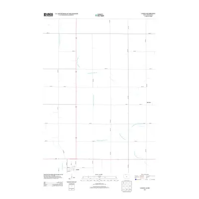
2013 Map of Lakota
USGS Topo · Published 2013About this map
Lakota anchors the southern edge of this agricultural landscape in Kossuth County, where the grid of rural roads meets a network of managed waterways. The Middle Br Blue Earth River meanders across the territory, its natural path supplemented by an extensive system of engineered channels including Drainage Ditch Number 82, Drainage Ditch Number 7, and the Union Slough Ditch. These features illustrate the transformation of the prairie into productive farmland. North of the primary settlement, the small location of Stevens sits along the section lines, while the street plan of Lakota includes established routes like Brewer St and Graham St. This map documents a region defined by its precise intersection of hydrology and land management.
Find a feature on this map
27 named features on this map. Tap any name to fly to it.
Don’t see what you’re looking for? This feature index may not catch every label — zoom into the map to look around manually.
Map Details
Editions of this 2013 Lakota Map
This is the sole edition of this map. No revisions or reprints were ever made.
Other maps of this area

1954 · Fairmont
USGS Topo · 1:250,000

1954 · Mason City
USGS Topo · 1:250,000

1955 · Bricelyn
USGS Topo · 1:62,500

1957 · Mason City
USGS Topo · 1:250,000

1958 · Mason City
USGS Topo · 1:250,000

1958 · Fairmont
USGS Topo · 1:250,000

1967 · Pilot Grove
USGS Topo · 1:24,000

1967 · Elmore
USGS Topo · 1:24,000

1972 · German Valley
USGS Topo · 1:24,000

1972 · Buffalo Center
USGS Topo · 1:24,000