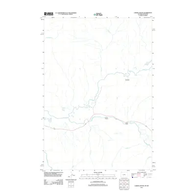
2012 Map of Lamar Canyon
USGS Topo · Published 2012About this map
Lamar River and Slough Cr dominate this hydrological network within the Lamar Valley, where the confluence of these waterways shapes the high-elevation landscape. The topography is defined by the carved depths of Lamar Canyon, a prominent geological feature through which the river flows westward toward the Yellowstone River. This 2012 survey illustrates the seasonal and perennial drainage patterns of the region, featuring numerous named tributaries such as Buffalo Cr, Crystal Cr, and Jasper Cr. The only built structures indicated are the Slough Creek Patrol Cabins, positioned north of the river and east of McBride Lake. The absence of roads beyond a single highway corridor emphasizes the protected and undeveloped character of this mountain wilderness, which remains a critical corridor for watershed management and native ecology.
Find a feature on this map
13 named features on this map. Tap any name to fly to it.
Don’t see what you’re looking for? This feature index may not catch every label — zoom into the map to look around manually.
Map Details
Editions of this 2012 Lamar Canyon Map
This is the sole edition of this map. No revisions or reprints were ever made.
Other maps of this area

1886 · Canyon
USGS Topo · 1:125,000

1891 · Livingston
USGS Topo · 1:250,000

1893 · Livingston
USGS Topo · 1:250,000

1895 · Canyon
USGS Topo · 1:125,000

1896 · Canyon
USGS Topo · 1:125,000

1901 · Canyon
USGS Topo · 1:125,000

1907 · Canyon
USGS Topo · 1:125,000

1911 · Canyon
USGS Topo · 1:125,000

1940 · Mt Wallace
USGS Topo · 1:62,500

1942 · Cutoff Mtn
USGS Topo · 1:62,500