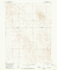
1961 Map of Lamar
USGS Topo · Published 1963About this map
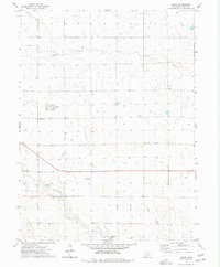
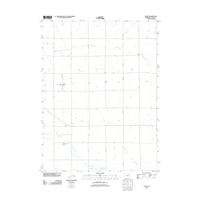
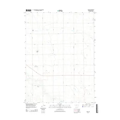
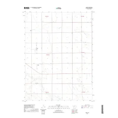
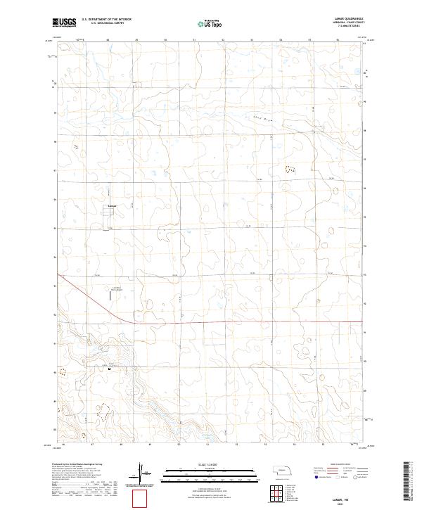
Lisbon Valley and Macedonia Canby define the undulating terrain of the High Plains along the border of Perkins and Chase counties in the early 1960s. This survey, part of the Missouri River Basin development program, details a landscape shaped by intermittent drainage and rural ranching. Spring Creek meanders through the northern sections, passing near the small gathering point of Stephenson. Further south, the map records the location of McCoy amidst a network of fence lines and field boundaries captured from 1959 aerial photography. The sparse distribution of named settlements emphasizes the isolated nature of these agricultural lands, where topography was meticulously mapped to support regional water and land management projects.
Find a feature on this map
6 named features on this map. Tap any name to fly to it.
Don’t see what you’re looking for? This feature index may not catch every label — zoom into the map to look around manually.
Map Details
Editions of this 1961 Lamar Map
This is the sole edition of this map. No revisions or reprints were ever made.
Historical Maps of Lamar Through Time
6 maps found