
1961 Map of Lamar NE
USGS Topo · Published 1963About this map
Lisbon Valley and the expansive ridges of Macedonia Canby define this stretch of the Nebraska high plains during the early 1960s. Surveyed as part of a development program for the Missouri River Basin, the topography is dominated by the seasonal drainage of Spring Creek, which carves through the central portion of the quadrangle. Human settlement is sparse and concentrated at localized nodes such as Stephenson and McCoy, reflecting the rural agricultural character of the landscape. The political divide of the Perkins Co Chase Co boundary runs horizontally through the center of the sheet, cutting across a terrain of undulating sand hills and basins. This map provides a clear record of the area's fence lines, section boundaries, and remote ranching outposts before the intensification of modern land use in western Nebraska.
Find a feature on this map
6 named features on this map. Tap any name to fly to it.
Don’t see what you’re looking for? This feature index may not catch every label — zoom into the map to look around manually.
Map Details
Editions of this 1961 Lamar NE Map
This is the sole edition of this map. No revisions or reprints were ever made.
Other maps of this area

1954 · McCook
USGS Topo · 1:250,000

1957 · McCook
USGS Topo · 1:250,000

1958 · McCook
USGS Topo · 1:250,000

1961 · Lamar
USGS Topo · 1:24,000

1961 · Brandon SE
USGS Topo · 1:24,000

1961 · Lamar NW
USGS Topo · 1:24,000

1961 · Brandon
USGS Topo · 1:24,000
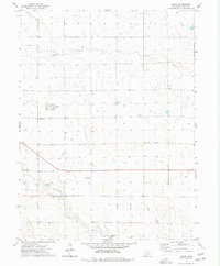
1973 · Lamar
USGS Topo · 1:24,000
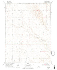
1973 · Chase
USGS Topo · 1:24,000

1973 · Imperial
USGS Topo · 1:24,000