Loading...
Loading map...1973 Map of Lamar
USGS Topo · Published 1977About this map
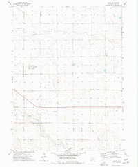
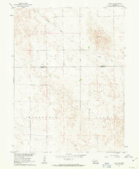
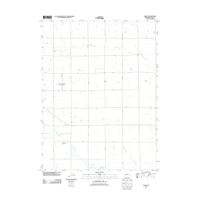
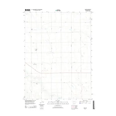
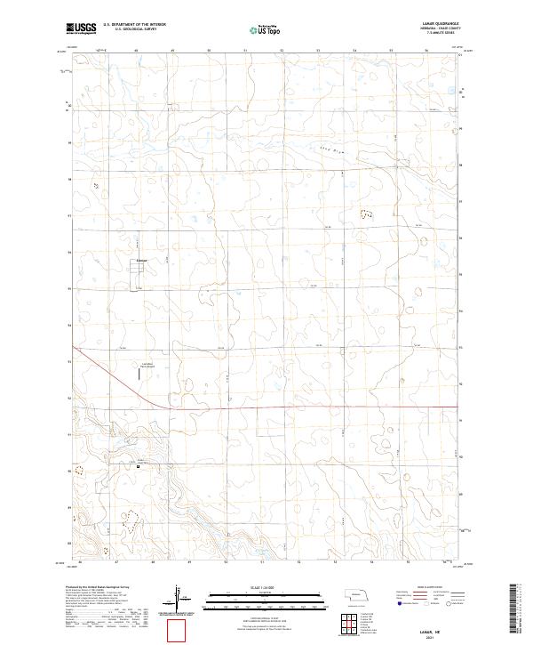
The village of Lamar serves as a small hub within the agricultural landscape of Chase County during the early 1970s. This survey illustrates the importance of water management and rural infrastructure in the High Plains, featuring the winding path of Frenchman Creek and its tributary, Sand Draw. The mapping of numerous wells across the terrain reflects the region's reliance on groundwater for ranching and farming operations.
Find a feature on this map
9 named features on this map. Tap any name to fly to it.
Don’t see what you’re looking for? This feature index may not catch every label — zoom into the map to look around manually.
Map Details
Date Portrayed1973
Date Published1977
PublisherU.S. Geological Survey
Map TypeTopographic
Scale1:24,000
Physical Dimensions22 x 26.6 inches
Editions of this 1973 Lamar Map
This is the sole edition of this map. No revisions or reprints were ever made.
Historical Maps of Lamar Through Time
6 maps found
Featured Locations
Source Details
SourceU.S. Geological Survey
CopyrightPublic Domain