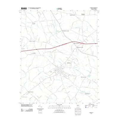
2011 Map of Lamar
USGS Topo · Published 2011About this map
Lamar stands as the central hub of this agricultural landscape in Darlington County, where a grid of rural roads connects numerous named intersections. These junctions, such as Wilkes Crossroads, Windhams Crossroads, and McLaughlin Crossroads, point to the enduring family-based settlement patterns of the region. The landscape is defined by extensive wetlands and drainage systems, most notably the winding course of Sparrow Swamp, Newman Swamp, and Boggy Gully Swamp.
Find a feature on this map
119 named features on this map. Tap any name to fly to it.
Don’t see what you’re looking for? This feature index may not catch every label — zoom into the map to look around manually.
Map Details
Editions of this 2011 Lamar Map
This is the sole edition of this map. No revisions or reprints were ever made.
Other maps of this area

1940 · Florence West
USGS Topo · 1:62,500

1941 · Spartanburg
USGS Topo · 1:250,000

1945 · Florence West
USGS Topo · 1:62,500

1953 · Florence
USGS Topo · 1:250,000

1953 · Spartanburg
USGS Topo · 1:250,000

1954 · Florence
USGS Topo · 1:250,000

1960 · Spartanburg
USGS Topo · 1:250,000

1963 · Spartanburg
USGS Topo · 1:250,000

1963 · Darlington West
USGS Topo · 1:24,000

1964 · Spartanburg
USGS Topo · 1:250,000