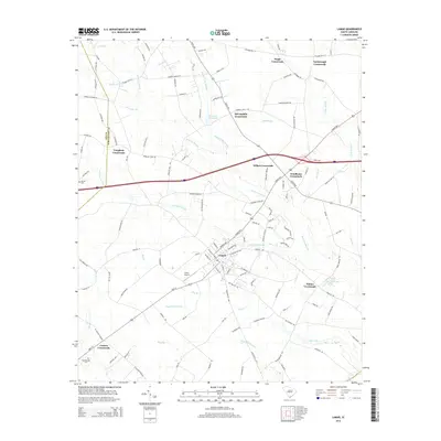
2014 Map of Lamar
USGS Topo · Published 2014About this map
Lamar serves as the central hub of this South Carolina landscape, where a dense network of roads converges near the Lamar Airport. The surrounding geography is defined by an intricate system of swampy lowlands and creeks, including the extensive Sparrow Swamp and Boggy Gully Swamp. These water features dictated the placement of historic transit points, visible today as numerous named intersections such as Wilkes Crossroads and Windhams Crossroads.
Find a feature on this map
123 named features on this map. Tap any name to fly to it.
Don’t see what you’re looking for? This feature index may not catch every label — zoom into the map to look around manually.
Map Details
Editions of this 2014 Lamar Map
This is the sole edition of this map. No revisions or reprints were ever made.
Other maps of this area

1940 · Florence West
USGS Topo · 1:62,500

1941 · Spartanburg
USGS Topo · 1:250,000

1945 · Florence West
USGS Topo · 1:62,500

1953 · Florence
USGS Topo · 1:250,000

1953 · Spartanburg
USGS Topo · 1:250,000

1954 · Florence
USGS Topo · 1:250,000

1960 · Spartanburg
USGS Topo · 1:250,000

1963 · Spartanburg
USGS Topo · 1:250,000

1963 · Darlington West
USGS Topo · 1:24,000

1964 · Spartanburg
USGS Topo · 1:250,000