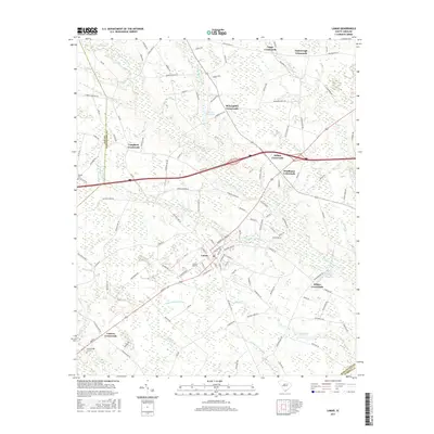
2017 Map of Lamar
USGS Topo · Published 2017About this map
Lamar serves as the central hub of this South Carolina landscape, where the intersection of agriculture and low-lying wetlands defines the community's footprint. The map documents a classic Pee Dee region pattern of development, with numerous historic junctions like Suggs Crossroads, Wilkes Crossroads, and Carters Crossroads marking the rural road network. Significant water features such as Sparrow Swamp and Deep Hole Swamp weave through the terrain, illustrating the drainage challenges and natural boundaries of Darlington and Lee Counties. Local industry and infrastructure are represented by the Lamar Airport and Andrews Millpond, while family history is rooted at the Scarborough Cem and Parnell Cem. The transition from the flowing waters of the E Lynches River to the stagnant reaches of Bay Lake showcases a complex hydrological environment that has shaped local settlement for generations.
Find a feature on this map
127 named features on this map. Tap any name to fly to it.
Don’t see what you’re looking for? This feature index may not catch every label — zoom into the map to look around manually.
Map Details
Editions of this 2017 Lamar Map
This is the sole edition of this map. No revisions or reprints were ever made.
Other maps of this area

1940 · Florence West
USGS Topo · 1:62,500

1941 · Spartanburg
USGS Topo · 1:250,000

1945 · Florence West
USGS Topo · 1:62,500

1953 · Florence
USGS Topo · 1:250,000

1953 · Spartanburg
USGS Topo · 1:250,000

1954 · Florence
USGS Topo · 1:250,000

1960 · Spartanburg
USGS Topo · 1:250,000

1963 · Spartanburg
USGS Topo · 1:250,000

1963 · Darlington West
USGS Topo · 1:24,000

1964 · Spartanburg
USGS Topo · 1:250,000