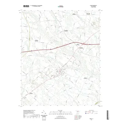
2020 Map of Lamar
USGS Topo · Published 2020About this map
The town of Lamar serves as the central hub of this Darlington County landscape, where the traditional agricultural layout of the South Carolina coastal plain is marked by a distinctive network of family-named intersections. These junctions, including Suggs Crossroads, Yarborough Crossroads, and Windhams Crossroads, trace the historical movement of goods and people between rural farmsteads. The low-lying terrain is defined by an intricate hydrological system where Sparrow Swamp and Newman Swamp filter through the region, eventually pooling in features like Andrews Millpond and the broad Deep Hole Swamp. This 2020 survey captures the persistence of these wetland boundaries alongside modern infrastructure like the Lamar Airport. For genealogists, the map preserves the locations of several burial grounds, such as Parnell Cem and Scarborough Cem, which remain as quiet landmarks in an area dominated by timber and agriculture.
Find a feature on this map
127 named features on this map. Tap any name to fly to it.
Don’t see what you’re looking for? This feature index may not catch every label — zoom into the map to look around manually.
Map Details
Editions of this 2020 Lamar Map
This is the sole edition of this map. No revisions or reprints were ever made.
Other maps of this area

1940 · Florence West
USGS Topo · 1:62,500

1941 · Spartanburg
USGS Topo · 1:250,000

1945 · Florence West
USGS Topo · 1:62,500

1953 · Florence
USGS Topo · 1:250,000

1953 · Spartanburg
USGS Topo · 1:250,000

1954 · Florence
USGS Topo · 1:250,000

1960 · Spartanburg
USGS Topo · 1:250,000

1963 · Spartanburg
USGS Topo · 1:250,000

1963 · Darlington West
USGS Topo · 1:24,000

1964 · Spartanburg
USGS Topo · 1:250,000