Loading...
Loading map...2024 Map of Lamar
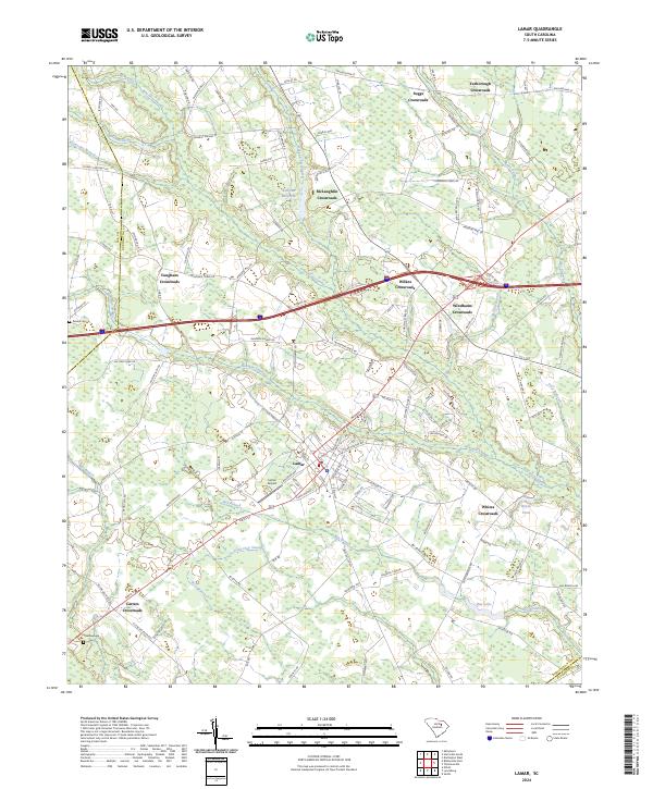
USGS Topo · Published 2024About this map
Lamar stands as the central hub of this Darlington County landscape, where a dense network of local roads like S Railroad Ave and McClain St intersect. The surrounding countryside is defined by a series of traditional junctions and small communities, including Carters Crossroads, Vaughans Crossroads, and Wilkes Crossroads, reflecting the historical settlement patterns of the South Carolina Pee Dee region.
Find a feature on this map
125 named features on this map. Tap any name to fly to it.
Don’t see what you’re looking for? This feature index may not catch every label — zoom into the map to look around manually.
Map Details
Date Portrayed2024
Date Published2024
PublisherU.S. Geological Survey
Map TypeTopographic
Scale1:24000
Physical Dimensions24 x 29 inches
Editions of this 2024 Lamar Map
This is the sole edition of this map. No revisions or reprints were ever made.
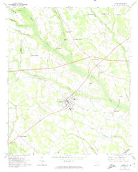
Historical Maps of Vaughans Crossroads Through Time
Featured Locations
Source Details
SourceU.S. Geological Survey
CopyrightPublic Domain