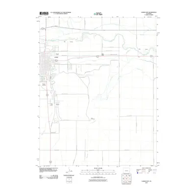
2010 Map of Lamar East
USGS Topo · Published 2010About this map
Lamar sits as a vital agricultural and transport hub on the High Plains, defined by an intricate network of irrigation systems and river bottomlands. This 2010 survey illustrates the critical role of water management in the region, tracing the Arkansas River as it passes through the Big Timbers area. A complex infrastructure of canals, including the Fort Bent Canal, Hyde Canal, and Lamar Canal, diverts water to support the surrounding farmland and settlements like West Farm and Clucas.
Find a feature on this map
39 named features on this map. Tap any name to fly to it.
Don’t see what you’re looking for? This feature index may not catch every label — zoom into the map to look around manually.
Map Details
Editions of this 2010 Lamar East Map
This is the sole edition of this map. No revisions or reprints were ever made.
Other maps of this area

1890 · Granada
USGS Topo · 1:125,000

1891 · Albany
USGS Topo · 1:125,000

1892 · Lamar
USGS Topo · 1:125,000

1892 · Granada
USGS Topo · 1:125,000

1892 · Two Butte
USGS Topo · 1:125,000

1893 · Two Butte
USGS Topo · 1:125,000

1893 · Albany
USGS Topo · 1:125,000

1894 · Granada
USGS Topo · 1:125,000

1952 · Lamar West
USGS Topo · 1:24,000

1952 · Carlton
USGS Topo · 1:24,000