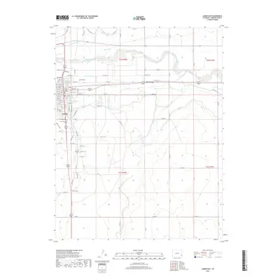
2019 Map of Lamar East
USGS Topo · Published 2019About this map
The Arkansas River corridor defines this portion of Prowers County, where a sophisticated network of irrigation infrastructure supports the high plains agricultural landscape. Traces of the region's water management history are visible through the Amity Canal, Lamar Canal, and Fort Bent Canal, which parallel the river's winding course. In the city of Lamar, the civic heart is anchored by the Prowers County Courthouse, while the eastern outskirts at West Farm show the transition to more open rural territory.
Find a feature on this map
95 named features on this map. Tap any name to fly to it.
Don’t see what you’re looking for? This feature index may not catch every label — zoom into the map to look around manually.
Map Details
Editions of this 2019 Lamar East Map
This is the sole edition of this map. No revisions or reprints were ever made.
Other maps of this area

1890 · Granada
USGS Topo · 1:125,000

1891 · Albany
USGS Topo · 1:125,000

1892 · Lamar
USGS Topo · 1:125,000

1892 · Granada
USGS Topo · 1:125,000

1892 · Two Butte
USGS Topo · 1:125,000

1893 · Two Butte
USGS Topo · 1:125,000

1893 · Albany
USGS Topo · 1:125,000

1894 · Granada
USGS Topo · 1:125,000

1952 · Lamar West
USGS Topo · 1:24,000

1952 · Carlton
USGS Topo · 1:24,000