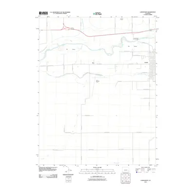
2010 Map of Lamar West
USGS Topo · Published 2010About this map
The Arkansas River corridor defines this portion of Prowers County, where the sprawling Big Timbers floodplain forest meets an intricate network of High Plains irrigation infrastructure. The map documents the vital role of water management in the region, featuring the Lamar Canal Diversion Dam and several prominent waterways such as the Fort Bent Canal, Lamar Canal, and the Wiley Drainage Ditch. These systems historically transformed the semi-arid landscape into productive agricultural land.
Find a feature on this map
30 named features on this map. Tap any name to fly to it.
Don’t see what you’re looking for? This feature index may not catch every label — zoom into the map to look around manually.
Map Details
Editions of this 2010 Lamar West Map
This is the sole edition of this map. No revisions or reprints were ever made.
Other maps of this area

1892 · Lamar
USGS Topo · 1:125,000

1892 · Two Butte
USGS Topo · 1:125,000

1893 · Two Butte
USGS Topo · 1:125,000

1952 · Lamar West
USGS Topo · 1:24,000

1953 · Lamar East
USGS Topo · 1:24,000

1953 · Prowers
USGS Topo · 1:24,000

1954 · Lamar
USGS Topo · 1:250,000

1955 · McClave
USGS Topo · 1:24,000

1955 · May Valley
USGS Topo · 1:24,000

1955 · Wiley
USGS Topo · 1:24,000