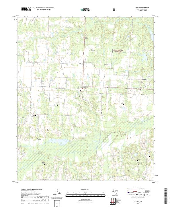
2022 Map of Lamasco
USGS Topo · Published 2022About this map
Lamasco and the surrounding ranchlands of Fannin County appear here as a quiet rural landscape defined by deep family roots and a network of creeks. Small settlements like Carson, Center, and Owens anchor the crossroads, but the area's history is perhaps best preserved in its numerous family and community burial grounds. These include Gaunt Family Cem, Smith Family Cem, and the notable Camp Benjamin CSA Cem.
Find a feature on this map
73 named features on this map. Tap any name to fly to it.
Don’t see what you’re looking for? This feature index may not catch every label — zoom into the map to look around manually.
Map Details
Editions of this 2022 Lamasco Map
This is the sole edition of this map. No revisions or reprints were ever made.
Historical Maps of Danner Through Time
14 maps found
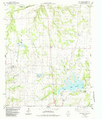
1964 Gober
Fannin County, TX
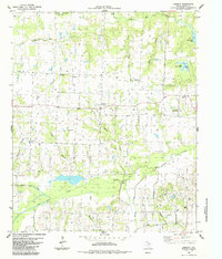
1980 Monkstown
Fannin County, TX
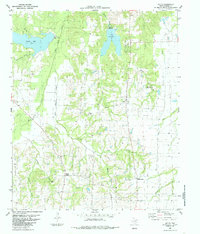
1980 Telephone
Fannin County, TX
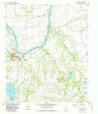
1984 Lake Bonham
Fannin County, TX
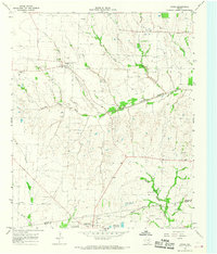
1984 Lamasco
Fannin County, TX
1984 Selfs
Fannin County, TX
1985 Mulberry
Fannin County, TX
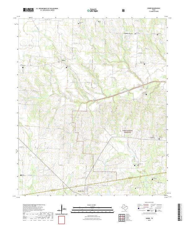
2022 Gober
Fannin County, TX
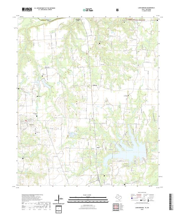
2022 Lake Bonham
Fannin County, TX
2022 Lamasco
Fannin County, TX
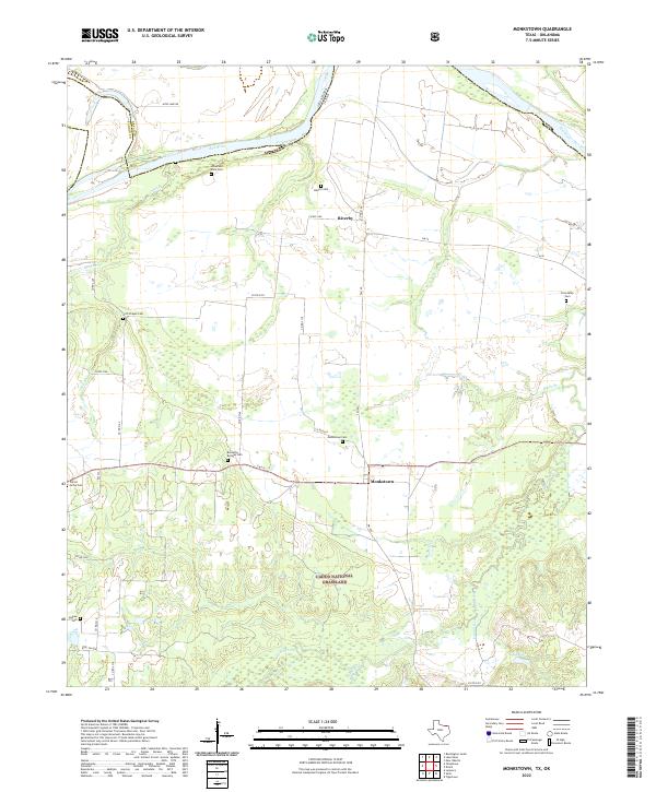
2022 Monkstown
Fannin County, TX
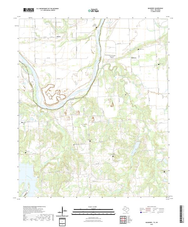
2022 Mulberry
Fannin County, TX
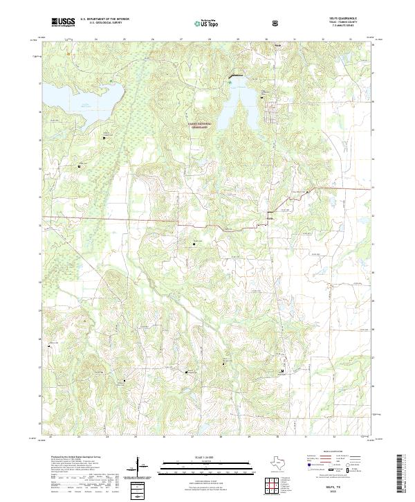
2022 Selfs
Fannin County, TX
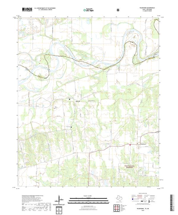
2022 Telephone
Fannin County, TX