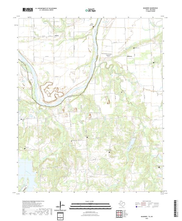
2022 Map of Mulberry
USGS Topo · Published 2022About this map
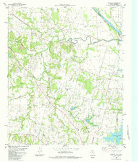
The Red River snakes through the northern portion of this landscape, defining the jagged border between Oklahoma and Texas. The terrain is marked by complex drainage patterns, where Caney Creek and Brushy Creek cut through the countryside alongside numerous smaller tributaries like Pattillo Br and Wilhoit Br. This area exhibits a dense concentration of historical burial sites, including family plots such as the Kemp - Reynolds Family Cem and established community grounds like Mulberry Cem and Union Cem, suggesting a long-standing pattern of rural settlement. The northern plains are occasionally interrupted by features like Spies Lake and the XWind Farm Airport, while the tiny communities of Liberty and Mulberry serve as local anchors connected by a network of county roads and farm-to-market routes like FM 1753.
Find a feature on this map
75 named features on this map. Tap any name to fly to it.
Don’t see what you’re looking for? This feature index may not catch every label — zoom into the map to look around manually.
Map Details
Editions of this 2022 Mulberry Map
This is the sole edition of this map. No revisions or reprints were ever made.
Other maps of this area

1954 · Sherman
USGS Topo · 1:250,000

1957 · Wade
USGS Topo · 1:62,500

1958 · Durant
USGS Topo · 1:62,500

1958 · Bonham
USGS Topo · 1:62,500

1958 · Whitesright
USGS Topo · 1:62,500

1958 · Sherman
USGS Topo · 1:250,000
1980 · Kemp
USGS Topo · 1:24,000
1980 · Yuba
USGS Topo · 1:24,000
1980 · Achille
USGS Topo · 1:24,000
1984 · Ambrose
USGS Topo · 1:24,000