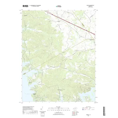
2019 Map of Lamasco
USGS Topo · Published 2019About this map
Lake Barkley dominates the western and southern reaches of this landscape, its fingers reaching into the hilly terrain of western Kentucky. The shoreline is punctuated by developed areas like Rockcastle Shores and the historic settlement of Rockcastle. This area is defined by a deep-seated cemetery network, including family and community sites such as Confederate Cem, Steinbaugh Cem, and Sivills Cem, reflecting generations of local residency.
Find a feature on this map
119 named features on this map. Tap any name to fly to it.
Don’t see what you’re looking for? This feature index may not catch every label — zoom into the map to look around manually.
Map Details
Editions of this 2019 Lamasco Map
This is the sole edition of this map. No revisions or reprints were ever made.
Other maps of this area

1908 · Princeton
USGS Topo · 1:62,500

1910 · Princeton
USGS Topo · 1:62,500

1928 · Eddyville
USGS Topo · 1:48,000

1931 · Eddyville
USGS Topo · 1:62,500

1936 · Eddyville
USGS Topo · 1:48,000

1936 · Mont
USGS Topo · 1:24,000

1936 · Fenton
USGS Topo · 1:24,000

1936 · Golden Pond
USGS Topo · 1:48,000

1949 · Paducah
USGS Topo · 1:250,000

1950 · Paducah
USGS Topo · 1:250,000