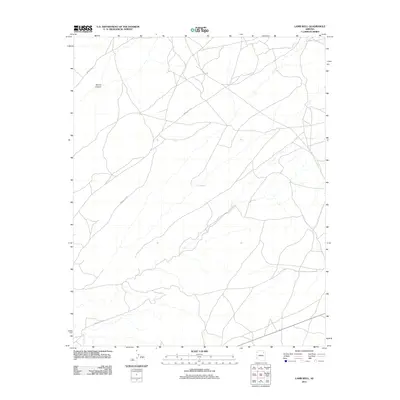
2011 Map of Lamb Well
USGS Topo · Published 2011About this map
Keams Canyon and the high-desert plateau of the Fort Defiance Agency are the focal points of this 2011 survey. The landscape is defined by its isolation and the critical importance of water resources in an arid environment, anchored by the namesake Lamb Well. A network of Bureau of Indian Affairs roads, including Indian Rte-65 and Indian Rte-9110, crisscrosses the terrain, tracing the routes between remote outposts and topographical landmarks. The map illustrates the contemporary infrastructure of the region, where secondary routes like Indian Rte-9101 and Indian Rte-9103 provide access across the mesa-and-canyon country. This record serves as a vital tool for understanding the modern distribution of resources and transit across this portion of the Arizona landscape.
Find a feature on this map
6 named features on this map. Tap any name to fly to it.
Don’t see what you’re looking for? This feature index may not catch every label — zoom into the map to look around manually.
Map Details
Editions of this 2011 Lamb Well Map
This is the sole edition of this map. No revisions or reprints were ever made.
Other maps of this area

1883 · Tusayan
USGS Topo · 1:250,000

1886 · Tusayan
USGS Topo · 1:250,000

1886 · Fort Defiance
USGS Topo · 1:250,000

1892 · Fort Defiance
USGS Topo · 1:250,000

1947 · Flagstaff
USGS Topo · 1:250,000

1954 · Flagstaff
USGS Topo · 1:250,000

1954 · Gallup
USGS Topo · 1:250,000

1958 · Gallup
USGS Topo · 1:250,000

1958 · Flagstaff
USGS Topo · 1:250,000

1959 · Gallup
USGS Topo · 1:250,000