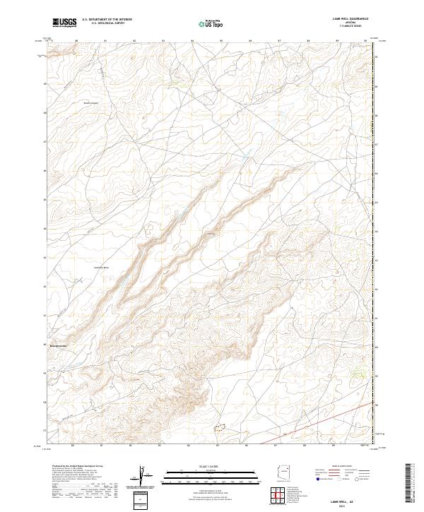
2021 Map of Lamb Well
USGS Topo · Published 2021About this map
Antelope Mesa dominates the landscape of this Navajo County region, where the high desert terrain is carved by the winding course of Jeddito Wash. The settlement of Keams Canyon occupies the northern reaches, serving as a focal point for a network of tribal routes including Indian Rte 65 and Indian Rte 60. The map documents the spatial relationship between established communities and smaller locales like Lamb Well and Kokopnyama, reflecting the enduring settlement patterns on tribal lands.
Find a feature on this map
17 named features on this map. Tap any name to fly to it.
Don’t see what you’re looking for? This feature index may not catch every label — zoom into the map to look around manually.
Map Details
Editions of this 2021 Lamb Well Map
This is the sole edition of this map. No revisions or reprints were ever made.
Other maps of this area

1883 · Tusayan
USGS Topo · 1:250,000

1886 · Tusayan
USGS Topo · 1:250,000

1886 · Fort Defiance
USGS Topo · 1:250,000

1892 · Fort Defiance
USGS Topo · 1:250,000

1947 · Flagstaff
USGS Topo · 1:250,000

1954 · Flagstaff
USGS Topo · 1:250,000

1954 · Gallup
USGS Topo · 1:250,000

1958 · Gallup
USGS Topo · 1:250,000

1958 · Flagstaff
USGS Topo · 1:250,000

1959 · Gallup
USGS Topo · 1:250,000