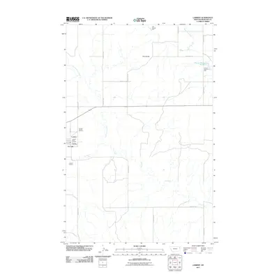
2011 Map of Lambert
USGS Topo · Published 2011About this map
Lambert and the neighboring community of Fox Lake anchor this 2011 survey of Richland County. The area is defined by a rural grid of county roads and the winding paths of Fox Creek and its East Fork. Genealogists will find interest in the documented locations of the Lambert Cemetery and Lambert Catholic Cemetery, alongside essential local institutions such as the Lambert Post Office and Lambert Rural Fire District. To the north, the landscape is punctuated by the Three Buttes terrain and hydraulic developments like the A M Prevost Dam and Prevost Reservoir Number 2. This map provides a detailed view of the infrastructure supporting these eastern Montana settlements, showing the intersection of local water management and agricultural land patterns.
Find a feature on this map
22 named features on this map. Tap any name to fly to it.
Don’t see what you’re looking for? This feature index may not catch every label — zoom into the map to look around manually.
Map Details
Editions of this 2011 Lambert Map
This is the sole edition of this map. No revisions or reprints were ever made.
Other maps of this area

1909 · Glendive
USGS Topo · 1:250,000

1954 · Glendive
USGS Topo · 1:250,000

1957 · Glendive
USGS Topo · 1:250,000

1958 · Glendive
USGS Topo · 1:250,000

1966 · Crane NW
USGS Topo · 1:24,000

1966 · Larson School
USGS Topo · 1:24,000

1972 · Butler Table
USGS Topo · 1:24,000

1972 · Girard
USGS Topo · 1:24,000

1972 · Fox Lake
USGS Topo · 1:24,000

1972 · Lambert
USGS Topo · 1:24,000