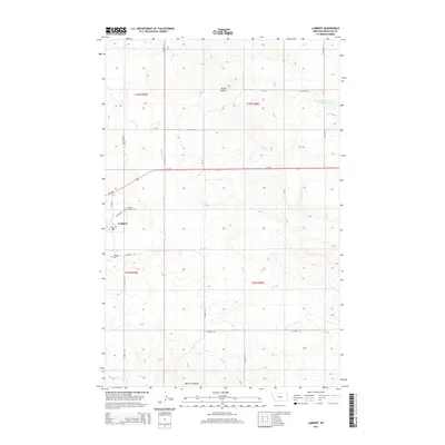
2014 Map of Lambert
USGS Topo · Published 2014About this map
The settlement of Lambert serves as the focal point of this Eastern Montana survey, positioned at the intersection of Main St and several vital county roads. This small community, characterized by its local Po and the nearby Lambert Cem and Lambert Catholic Cem, anchors a landscape defined by high plains agriculture and drainage networks. The terrain is marked by the Three Buttes in the northern portion of the quadrangle, with the winding paths of Fox Cr and the E Fork Fox Cr cutting through the township and range divisions. Further east, the Prevost Reservoir Number 2 highlights the importance of water management in this semi-arid region. In the south, the area around McCone Heights demonstrates the sparse but structured distribution of rural homesteads and livestock operations during the early twenty-first century.
Find a feature on this map
25 named features on this map. Tap any name to fly to it.
Don’t see what you’re looking for? This feature index may not catch every label — zoom into the map to look around manually.
Map Details
Editions of this 2014 Lambert Map
This is the sole edition of this map. No revisions or reprints were ever made.
Other maps of this area

1909 · Glendive
USGS Topo · 1:250,000

1954 · Glendive
USGS Topo · 1:250,000

1957 · Glendive
USGS Topo · 1:250,000

1958 · Glendive
USGS Topo · 1:250,000

1966 · Crane NW
USGS Topo · 1:24,000

1966 · Larson School
USGS Topo · 1:24,000

1972 · Butler Table
USGS Topo · 1:24,000

1972 · Girard
USGS Topo · 1:24,000

1972 · Fox Lake
USGS Topo · 1:24,000

1972 · Lambert
USGS Topo · 1:24,000