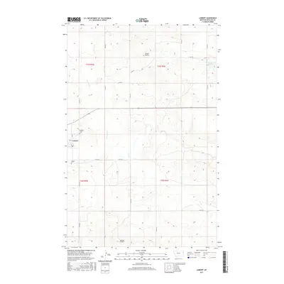
2017 Map of Lambert
USGS Topo · Published 2017About this map
Lambert serves as a small but distinct hub in Richland County, defined by its traditional town layout centered around Main St. The surrounding landscape is dominated by the upper drainage of Fox Cr and the E Fork Fox Cr, where the terrain begins to rise toward the prominent landmark of Three Buttes. This 2017 study illustrates the rural character of the region, where wide-reaching section lines are followed by county roads like Co RD 329 and Co RD 122. Local genealogy and community history are anchored by the Lambert Cem and Lambert Catholic Cem, while the inclusion of McCone Heights and Prevost Reservoir Number 2 highlights the scattered settlements and water management necessary for life in the eastern Montana plains.
Find a feature on this map
22 named features on this map. Tap any name to fly to it.
Don’t see what you’re looking for? This feature index may not catch every label — zoom into the map to look around manually.
Map Details
Editions of this 2017 Lambert Map
This is the sole edition of this map. No revisions or reprints were ever made.
Other maps of this area

1909 · Glendive
USGS Topo · 1:250,000

1954 · Glendive
USGS Topo · 1:250,000

1957 · Glendive
USGS Topo · 1:250,000

1958 · Glendive
USGS Topo · 1:250,000

1966 · Crane NW
USGS Topo · 1:24,000

1966 · Larson School
USGS Topo · 1:24,000

1972 · Butler Table
USGS Topo · 1:24,000

1972 · Girard
USGS Topo · 1:24,000

1972 · Fox Lake
USGS Topo · 1:24,000

1972 · Lambert
USGS Topo · 1:24,000