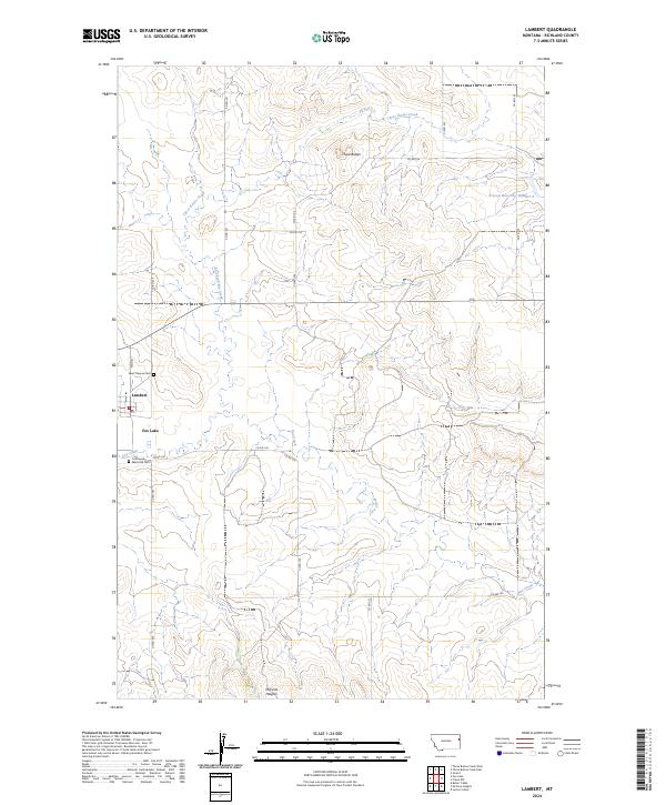
2024 Map of Lambert
USGS Topo · Published 2024About this map
Lambert serves as the primary hub in this portion of Richland County, established where Main St and the local grid meet the surrounding agricultural landscape. This recent survey illustrates the town's enduring layout, featuring the central Po and two prominent burial grounds: Saint Theresa Cem to the north and Community Memorial Cem situated near the southern edge. The terrain is defined by the high ground of the Three Buttes, which overlook a network of drainage systems including Three Buttes Creek and the East Fork Fox Creek. Water management is a visible priority for the local ranching and farming economy, evidenced by the Prevost Reservoir Number 1 and the waters of Fox Lake. To the south, the newer residential footprint of McCone Heights indicates more recent local development while maintaining the traditional Section-Township-Range boundaries.
Find a feature on this map
25 named features on this map. Tap any name to fly to it.
Don’t see what you’re looking for? This feature index may not catch every label — zoom into the map to look around manually.
Map Details
Editions of this 2024 Lambert Map
This is the sole edition of this map. No revisions or reprints were ever made.
Other maps of this area

1909 · Glendive
USGS Topo · 1:250,000

1954 · Glendive
USGS Topo · 1:250,000

1957 · Glendive
USGS Topo · 1:250,000

1958 · Glendive
USGS Topo · 1:250,000

1966 · Crane NW
USGS Topo · 1:24,000

1966 · Larson School
USGS Topo · 1:24,000

1972 · Butler Table
USGS Topo · 1:24,000

1972 · Girard
USGS Topo · 1:24,000

1972 · Fox Lake
USGS Topo · 1:24,000

1972 · Lambert
USGS Topo · 1:24,000