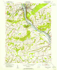
1953 Map of Lambertville
USGS Topo · Published 1955About this map
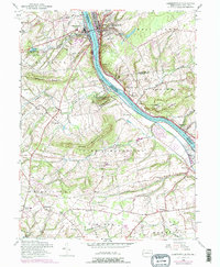
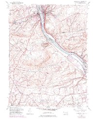
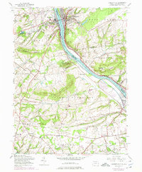
Lambertville and New Hope anchor this 1953 landscape, connected across the Delaware River by a bridge that bridges both states and cultures. The topography is defined by significant ridges like Solebury Mountain and Jericho Mountain, while the river corridor is marked by institutional and commemorative landmarks. To the south, the Washington Crossing State Park occupies both banks, reflecting the site’s deep Revolutionary War associations at Taylorsville and Washington Crossing. Away from the river, the terrain transitions into the agricultural and residential hamlets of Bucks County and Hunterdon County, where smaller communities like Solebury, Wrightstown, and Dolington are linked by winding roads and the Pennsylvania Railroad. Local history is visible in the distribution of rural landmarks, from the St Martins Ch and Thompson Memorial Cem to the Mercer County Workhouse near Belle Mountain.
Find a feature on this map
64 named features on this map. Tap any name to fly to it.
Don’t see what you’re looking for? This feature index may not catch every label — zoom into the map to look around manually.
Map Details
Editions of this 1953 Lambertville Map
7 editions found
Other maps of this area

1890 · Lambertville
USGS Topo · 1:62,500

1890 · Doylestown
USGS Topo · 1:62,500

1890 · Burlington
USGS Topo · 1:62,500

1891 · Lambertville
USGS Topo · 1:62,500

1891 · Doylestown
USGS Topo · 1:62,500

1893 · Germantown
USGS Topo · 1:62,500

1893 · Burlington
USGS Topo · 1:62,500

1894 · Lambertville
USGS Topo · 1:62,500

1894 · Germantown
USGS Topo · 1:62,500

1896 · Germantown
USGS Topo · 1:62,500
Featured Places
- Lower Makefield Township, PA
- Buckingham Township, PA
- Hopewell Township, NJ
- Solebury Township, PA
- Upper Makefield Township, PA