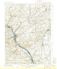
1906 Map of Lambertville
USGS Topo · Published 1943About this map
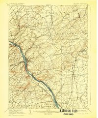
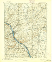
The Delaware River corridor defines this 1906 survey, with the industrial and transit hub of Lambertville serving as a focal point. Parallel to the river, the Delaware and Raritan Canal (Feeder) and the Pennsylvania Railroad Belvidere Division trace the shoreline, illustrating the region's reliance on water and rail transport at the dawn of the century. The map captures a landscape of rising terrain, including Baldpate Mtn, Goat Hill, and Mt Gilboa, which overlook the river valley.
Find a feature on this map
110 named features on this map. Tap any name to fly to it.
Don’t see what you’re looking for? This feature index may not catch every label — zoom into the map to look around manually.
Map Details
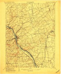
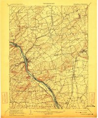
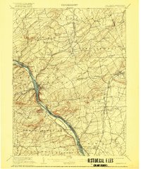
Editions of this 1906 Lambertville Map
6 editions found
Other maps of this area

1888 · Bordentown
USGS Topo · 1:62,500

1888 · Princeton
USGS Topo · 1:62,500

1890 · Easton
USGS Topo · 1:62,500

1890 · High Bridge
USGS Topo · 1:62,500

1890 · Lambertville
USGS Topo · 1:62,500

1890 · Doylestown
USGS Topo · 1:62,500

1890 · Burlington
USGS Topo · 1:62,500

1891 · Somerville
USGS Topo · 1:62,500

1891 · Easton
USGS Topo · 1:62,500

1891 · Lambertville
USGS Topo · 1:62,500
Featured Places
- Hillsborough Township, NJ
- Ewing Township, NJ
- Lawrence Township, NJ
- Lower Makefield Township, PA
- Raritan Township, NJ