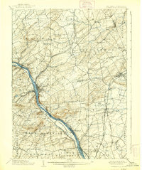
1906 Map of Lambertville
USGS Topo · Published 1938About this map
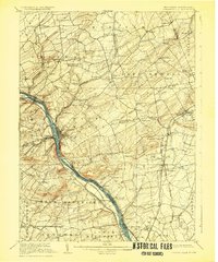
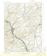
The Delaware River corridor serves as the primary artery of commerce and movement through this region, flanked by the Delaware and Raritan Canal and the Pennsylvania Railroad Belvidere Division. Industrial hubs like Lambertville and New Hope anchor the riverbanks, where topography shifts from the river flats to prominent elevations like Baldpate Mtn and Pennington Mtn. The landscape is a dense network of early 20th-century agriculture and rail-dependent transit, with the Flemington Branch and Philadelphia and Reading Railroad connecting inland settlements such as Ringoes and Hopewell.
Find a feature on this map
113 named features on this map. Tap any name to fly to it.
Don’t see what you’re looking for? This feature index may not catch every label — zoom into the map to look around manually.
Map Details
Editions of this 1906 Lambertville Map
6 editions found
Other maps of this area

1888 · Bordentown
USGS Topo · 1:62,500

1888 · Princeton
USGS Topo · 1:62,500

1890 · Easton
USGS Topo · 1:62,500

1890 · High Bridge
USGS Topo · 1:62,500

1890 · Lambertville
USGS Topo · 1:62,500

1890 · Doylestown
USGS Topo · 1:62,500

1890 · Burlington
USGS Topo · 1:62,500

1891 · Somerville
USGS Topo · 1:62,500

1891 · Easton
USGS Topo · 1:62,500

1891 · Lambertville
USGS Topo · 1:62,500
Featured Places
- Hillsborough Township, NJ
- Ewing Township, NJ
- Lawrence Township, NJ
- Lower Makefield Township, PA
- Raritan Township, NJ