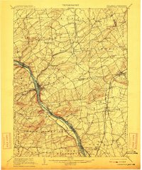
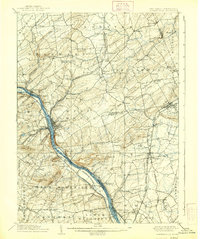
1906 Map of Lambertville
USGS Topo · Published 1912About this map
The Delaware River corridor serves as the primary artery for transport and industry in this 1906 survey, where the Delaware and Raritan Canal runs parallel to the Pennsylvania Railroad Belvidere Division. The twin towns of Lambertville and New Hope anchor the river crossing, surrounded by a landscape of significant elevation changes including Baldpate Mtn and Solebury Mountain. Inland, the map reveals a dense network of nineteenth-century agrarian settlements such as Ringoes, Sergeantsville, and Locktown, many of which developed around early road junctions and creek crossings.
Find a feature on this map
109 named features on this map. Tap any name to fly to it.
Don’t see what you’re looking for? This feature index may not catch every label — zoom into the map to look around manually.
Map Details
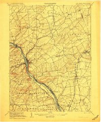
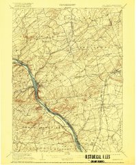
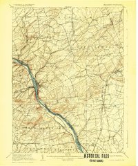
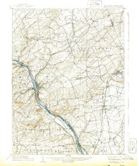
Editions of this 1906 Lambertville Map
6 editions found
Other maps of this area

1888 · Bordentown
USGS Topo · 1:62,500

1888 · Princeton
USGS Topo · 1:62,500

1890 · Easton
USGS Topo · 1:62,500

1890 · High Bridge
USGS Topo · 1:62,500

1890 · Lambertville
USGS Topo · 1:62,500

1890 · Doylestown
USGS Topo · 1:62,500

1890 · Burlington
USGS Topo · 1:62,500

1891 · Somerville
USGS Topo · 1:62,500

1891 · Easton
USGS Topo · 1:62,500

1891 · Lambertville
USGS Topo · 1:62,500
Featured Places
- Hillsborough Township, NJ
- Ewing Township, NJ
- Lawrence Township, NJ
- Lower Makefield Township, PA
- Raritan Township, NJ