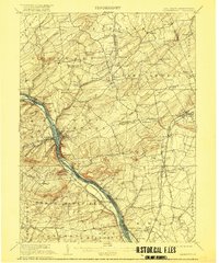
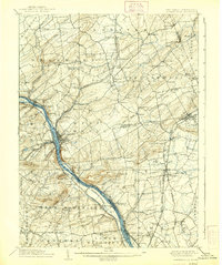
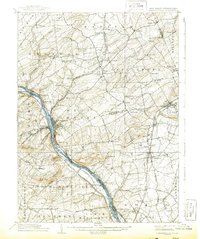
1906 Map of Lambertville
USGS Topo · Published 1916About this map
The Delaware River forms the central spine of this landscape, serving as a corridor for both the Delaware and Raritan Canal and the Pennsylvania Railroad Belvidere Division. Along its banks, established crossings and settlements like Stockton, Brookville, and Washington Crossing demonstrate the river's historic role in regional transportation. The topography is defined by significant ridges, including Pennington Mtn and Baldpate Mtn, which separate the river valley from the inland agricultural plateaus.
Find a feature on this map
103 named features on this map. Tap any name to fly to it.
Don’t see what you’re looking for? This feature index may not catch every label — zoom into the map to look around manually.
Map Details
Editions of this 1906 Lambertville Map
6 editions found
Other maps of this area

1888 · Bordentown
USGS Topo · 1:62,500

1888 · Princeton
USGS Topo · 1:62,500

1890 · Easton
USGS Topo · 1:62,500

1890 · High Bridge
USGS Topo · 1:62,500

1890 · Lambertville
USGS Topo · 1:62,500

1890 · Doylestown
USGS Topo · 1:62,500

1890 · Burlington
USGS Topo · 1:62,500

1891 · Somerville
USGS Topo · 1:62,500

1891 · Easton
USGS Topo · 1:62,500

1891 · Lambertville
USGS Topo · 1:62,500
Featured Places
- Hillsborough Township, NJ
- Ewing Township, NJ
- Lawrence Township, NJ
- Lower Makefield Township, PA
- Raritan Township, NJ