
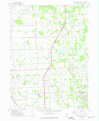
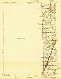
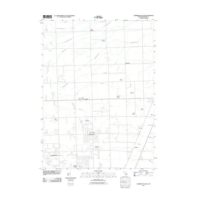
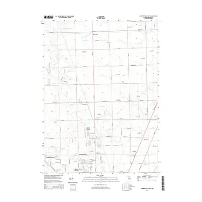
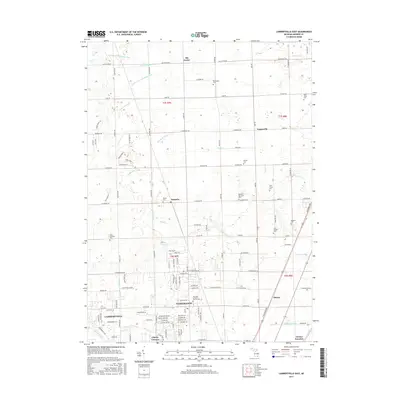
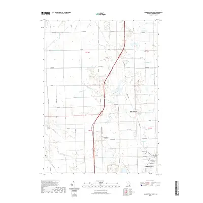
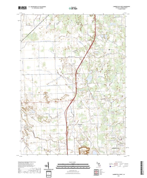
1972 Map of Lambertville West
USGS Topo · Published 1979About this map
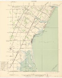
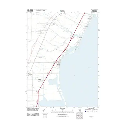
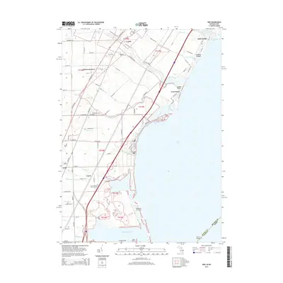
The low-lying agricultural landscape of Whiteford and Summerfield townships is defined by an extensive drainage network, including the Burton and White Drain and Summerfield and Ida Drain, which supported the region's farming heritage. In the early 1970s, the area around Lambertville and Whiteford Center remained largely rural, anchored by local institutions like the Whiteford Agricultural High Sch and St Anthony Ch. The southern portion of the map reveals industrial and transport infrastructure, from the Penn Central rail line near Ottawa Lake to a notable Stone Quarry and numerous pipelines cutting across the terrain.
Find a feature on this map
100 named features on this map. Tap any name to fly to it.
Don’t see what you’re looking for? This feature index may not catch every label — zoom into the map to look around manually.
Map Details
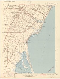
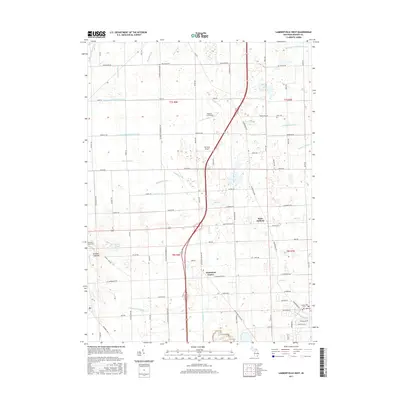
Editions of this 1972 Lambertville West Map
2 editions found
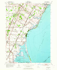
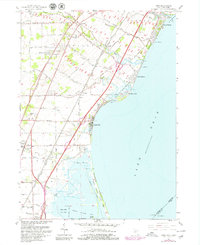
Historical Maps of Bedford Township Through Time
29 maps found
1936 Erie
Monroe County, MI
1936 Samaria
Monroe County, MI
1939 Samaria
Monroe County, MI
1941 Samaria
Monroe County, MI
1943 Erie
Monroe County, MI
1952 Erie
Monroe County, MI
1967 Erie
Monroe County, MI

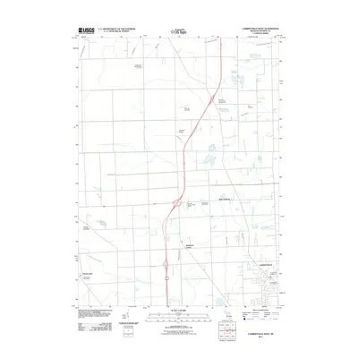
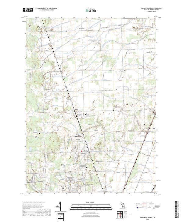
1972 Lambertville East
Monroe County, MI
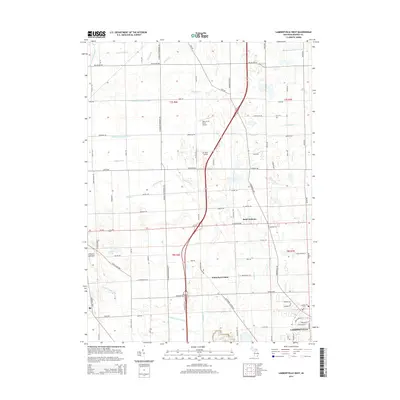
1972 Lambertville West
Monroe County, MI
2011 Erie
Monroe County, MI
2011 Lambertville East
Monroe County, MI
2011 Lambertville West
Monroe County, MI

2011 Stony Point OE S
Monroe County, MI
2014 Erie
Monroe County, MI
2014 Lambertville East
Monroe County, MI
2014 Lambertville West
Monroe County, MI
2014 Stony Point OE S
Monroe County, MI
2017 Erie
Monroe County, MI
2017 Lambertville East
Monroe County, MI
2017 Lambertville West
Monroe County, MI
2017 Stony Point OE S
Monroe County, MI
2019 Erie
Monroe County, MI

2019 Lambertville East
Monroe County, MI
2019 Lambertville West
Monroe County, MI
2019 Stony Point OE S
Monroe County, MI
2023 Erie
Monroe County, MI
2023 Lambertville East
Monroe County, MI
2023 Lambertville West
Monroe County, MI
2023 Stony Point OE S
Monroe County, MI
Featured Locations
- Ida Township, MI
- Summerfield Township, MI
- Whiteford Township, MI
- Bedford Township, MI
- Lambertville, Bedford Township