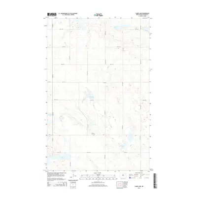
2014 Map of Lambs Lake
USGS Topo · Published 2014About this map
Melrose Church Cem serves as a quiet historical anchor in this portion of Nelson County, situated along the path of CR-4. The landscape is defined by its numerous prairie potholes and glacial depressions, including Lambs Lake at its center and the elongated Stella Lake to the north. These water bodies, along with Horseshoe Lake, Harrison Lake, and the Twin Lakes in the south, create a complex hydrologic pattern characteristic of the region. The map details a strictly organized grid of rural section roads, such as Co Road 35 and 120th Ave NE, which partition the territory into large agricultural tracts. This survey documents the area's modern topography and road network while preserving the locations of legacy sites like the Melrose Church Cem.
Find a feature on this map
20 named features on this map. Tap any name to fly to it.
Don’t see what you’re looking for? This feature index may not catch every label — zoom into the map to look around manually.
Map Details
Editions of this 2014 Lambs Lake Map
This is the sole edition of this map. No revisions or reprints were ever made.
Other maps of this area

1939 · Niagara
USGS Topo · 1:62,500

1942 · McVille
USGS Topo · 1:62,500

1952 · Grand Forks
USGS Topo · 1:250,000

1952 · Thief River Falls
USGS Topo · 1:250,000

1952 · New Rockford
USGS Topo · 1:250,000

1953 · Devils Lake
USGS Topo · 1:250,000

1956 · New Rockford
USGS Topo · 1:250,000

1956 · Thief River Falls
USGS Topo · 1:250,000

1956 · Devils Lake
USGS Topo · 1:250,000

1956 · Grand Forks
USGS Topo · 1:250,000