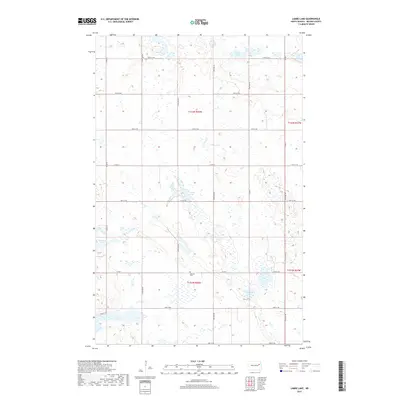
2017 Map of Lambs Lake
USGS Topo · Published 2017About this map
The glacial prairie landscape of Nelson County is defined here by a dense network of wetlands and namesake water bodies. Lambs Lake and Stella Lake dominate the northern and central sections, while Harrison Lake and the Twin Lakes sit among the depressions further south. This terrain necessitated a rigid section-line road grid, including Co Rd 4 and 117th Ave NE, which navigate around the numerous unnamed sloughs and seasonal basins. A significant point of interest for local history is the Melrose Cem, located centrally within the township of T151N R58W. The map reflects the enduring agricultural character of the region, where the placement of small rural roads like Orwick Dr and Co Rd 35 illustrates how 21st-century infrastructure remains tied to the original late-19th-century land surveys.
Find a feature on this map
28 named features on this map. Tap any name to fly to it.
Don’t see what you’re looking for? This feature index may not catch every label — zoom into the map to look around manually.
Map Details
Editions of this 2017 Lambs Lake Map
This is the sole edition of this map. No revisions or reprints were ever made.
Other maps of this area

1939 · Niagara
USGS Topo · 1:62,500

1942 · McVille
USGS Topo · 1:62,500

1952 · Grand Forks
USGS Topo · 1:250,000

1952 · Thief River Falls
USGS Topo · 1:250,000

1952 · New Rockford
USGS Topo · 1:250,000

1953 · Devils Lake
USGS Topo · 1:250,000

1956 · New Rockford
USGS Topo · 1:250,000

1956 · Thief River Falls
USGS Topo · 1:250,000

1956 · Devils Lake
USGS Topo · 1:250,000

1956 · Grand Forks
USGS Topo · 1:250,000