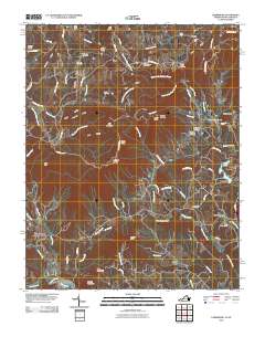
2010 Map of Lambsburg
USGS Topo · Published 2010About this map
The Blue Ridge crest dominates this landscape along the Virginia and North Carolina border, where mountain life is defined by high peaks and narrow hollows. At the northern edge, Drenn sits near Pipers Gap, while the winding Blue Ridge Pkwy follows the ridgeline past Blue Ridge Chapel. The region is a significant area for genealogical research, evidenced by the numerous family and community burial grounds including Coleman Cemetery, Fairlawn Cemetery, and the Edwards-Upchurch Cemetery.
Find a feature on this map
86 named features on this map. Tap any name to fly to it.
Don’t see what you’re looking for? This feature index may not catch every label — zoom into the map to look around manually.
Map Details
Editions of this 2010 Lambsburg Map
This is the sole edition of this map. No revisions or reprints were ever made.
Other maps of this area

1889 · Hillsville
USGS Topo · 1:125,000

1891 · Yadkinville
USGS Topo · 1:125,000

1892 · Hillsville
USGS Topo · 1:125,000

1893 · Yadkinville
USGS Topo · 1:125,000

1896 · Hillsville
USGS Topo · 1:125,000

1931 · Galax
USGS Topo · 1:48,000

1933 · Galax
USGS Topo · 1:62,500

1953 · Winston-Salem
USGS Topo · 1:250,000

1955 · Winston-Salem
USGS Topo · 1:250,000

1957 · Mount Airy
USGS Topo · 1:62,500