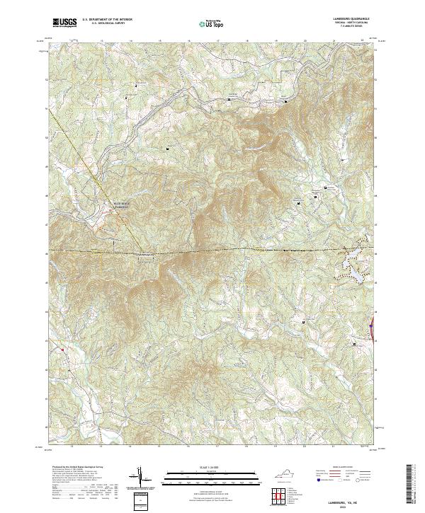
2022 Map of Lambsburg
USGS Topo · Published 2022About this map
The Blue Ridge Parkway meanders across the border of Grayson and Surry counties, marking the transition between the Virginia highlands and the North Carolina Piedmont. This 2022 survey details the deeply incised headwaters of Stewarts Creek and the Fisher River, where family cemeteries and rural churches anchor the mountain communities. Genealogists will find numerous family-named landmarks such as the Edwards Upchurch Cem and Coleman Cem, along with established congregations at Fellowship Tabernacle Cem and Blue Ridge Chapel Cem. The terrain is characterized by prominent elevations like Fisher Peak, while local access follows winding routes such as Lambsburg Rd and Pipers Gap Rd. This modern documentation provides a clear look at how historical property lines and small-town burial grounds persist within the protected corridor of the national parkway.
Find a feature on this map
163 named features on this map. Tap any name to fly to it.
Don’t see what you’re looking for? This feature index may not catch every label — zoom into the map to look around manually.
Map Details
Editions of this 2022 Lambsburg Map
This is the sole edition of this map. No revisions or reprints were ever made.
Other maps of this area

1889 · Hillsville
USGS Topo · 1:125,000

1891 · Yadkinville
USGS Topo · 1:125,000

1892 · Hillsville
USGS Topo · 1:125,000

1893 · Yadkinville
USGS Topo · 1:125,000

1896 · Hillsville
USGS Topo · 1:125,000

1931 · Galax
USGS Topo · 1:48,000

1933 · Galax
USGS Topo · 1:62,500

1953 · Winston-Salem
USGS Topo · 1:250,000

1955 · Winston-Salem
USGS Topo · 1:250,000

1957 · Mount Airy
USGS Topo · 1:62,500