
2014 Map of Lamerdorf Peak
USGS Topo · Published 2014About this map
Lamerdorf Peak dominates the southern reaches of the Wah Wah Mountains in this high-elevation corner of Beaver County. The terrain is defined by a series of significant canyons and basins, including North Canyon, Burnt Stump Canyon, and the high-altitude Revenue Basin to the northeast. Historical resource extraction is evidenced by The Iron Mines situated near the southeastern slopes, a site connected by the winding path of Willow Creek Rd which traverses the central valley.
Find a feature on this map
29 named features on this map. Tap any name to fly to it.
Don’t see what you’re looking for? This feature index may not catch every label — zoom into the map to look around manually.
Map Details
Editions of this 2014 Lamerdorf Peak Map
This is the sole edition of this map. No revisions or reprints were ever made.
Other maps of this area

1953 · Richfield
USGS Topo · 1:250,000

1958 · Richfield
USGS Topo · 1:250,000

1959 · Frisco
USGS Topo · 1:62,500

1971 · Observation Knoll
USGS Topo · 1:24,000

1971 · Pine Grove Reservoir
USGS Topo · 1:24,000

1971 · Sewing Machine Pass
USGS Topo · 1:24,000

1971 · Lamerdorf Peak NW
USGS Topo · 1:24,000
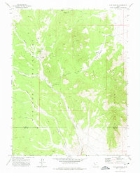
1971 · Blue Mountain
USGS Topo · 1:24,000
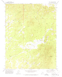
1971 · The Tetons
USGS Topo · 1:24,000

1971 · Lamerdorf Peak
USGS Topo · 1:24,000