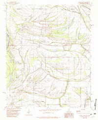
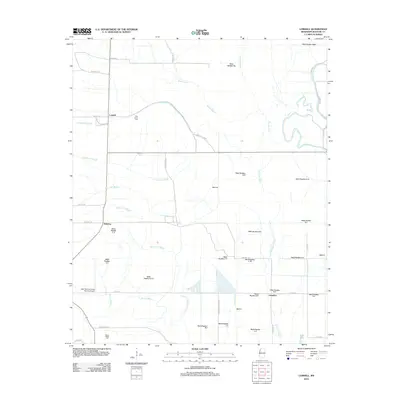
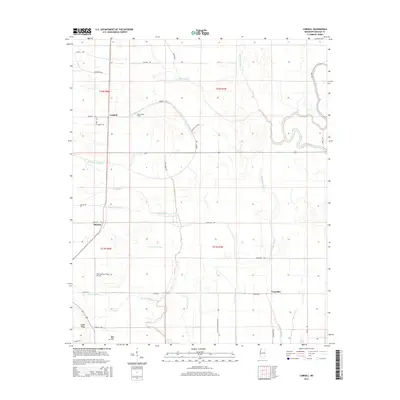
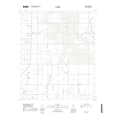
1939 Map of Lamont
USGS Topo · Published 1965About this map
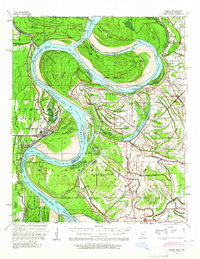
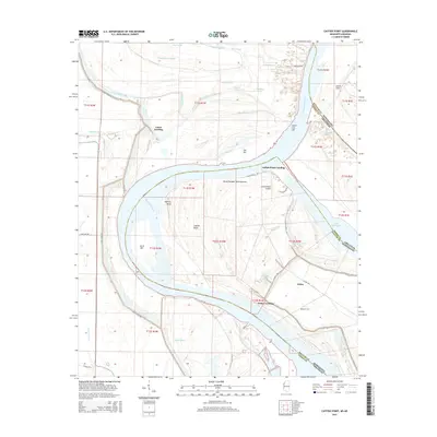
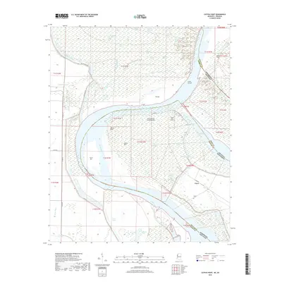
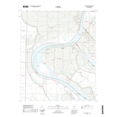
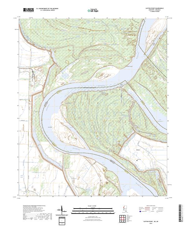
Arkansas City stands as a focal point on this 1930s survey, positioned along the shifting banks where the Arkansas River meets the Mississippi River. The landscape is defined by the massive engineering efforts of the era, most notably the Ashbrook Cut-Off 1935 and Caulk Cut-Off 1937, which were designed to straighten the river's course and mitigate the chronic flooding of the Delta. These cut-offs transformed former active channels into features like Caulk Neck and left large land masses like Choctaw Island No 78 isolated between the old and new river paths.
Find a feature on this map
46 named features on this map. Tap any name to fly to it.
Don’t see what you’re looking for? This feature index may not catch every label — zoom into the map to look around manually.
Map Details
Editions of this 1939 Lamont Map


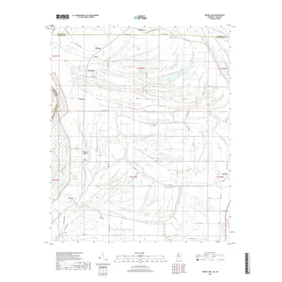
Historical Maps of Benoit Through Time
28 maps found

1939 Choctaw
Bolivar County, MS
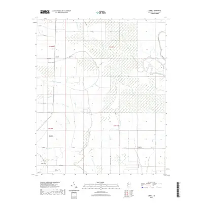
1939 Lamont
Bolivar County, MS
1967 Lobdell
Bolivar County, MS
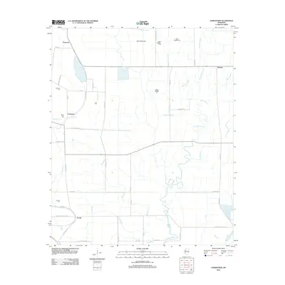
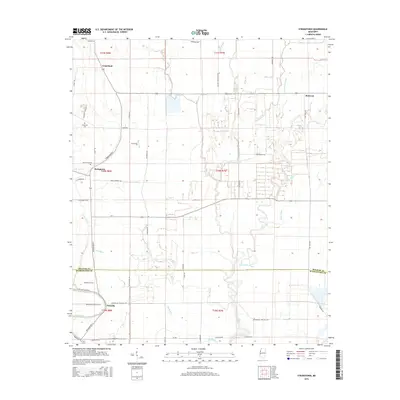
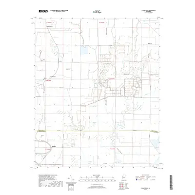
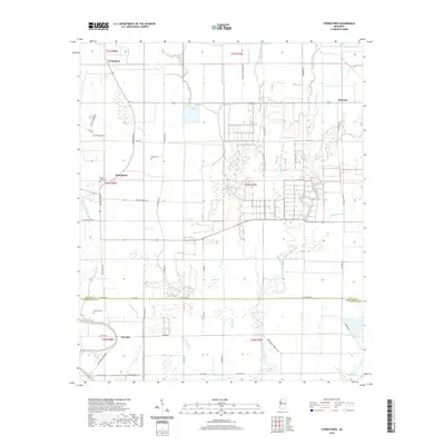
1967 Stringtown
Bolivar County, MS
1969 Choctaw
Bolivar County, MS
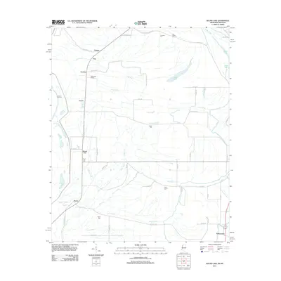
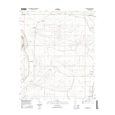
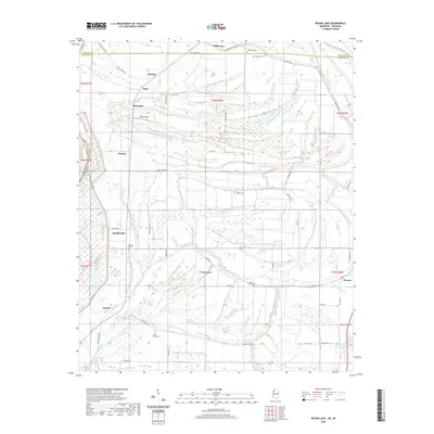
1982 Round Lake
Bolivar County, MS
2011 Catfish Point
Bolivar County, MS
2011 Round Lake
Bolivar County, MS
2012 Catfish Point
Bolivar County, MS
2012 Lobdell
Bolivar County, MS
2012 Round Lake
Bolivar County, MS
2012 Stringtown
Bolivar County, MS
2015 Catfish Point
Bolivar County, MS
2015 Lobdell
Bolivar County, MS
2015 Round Lake
Bolivar County, MS
2015 Stringtown
Bolivar County, MS
2018 Catfish Point
Bolivar County, MS
2018 Lobdell
Bolivar County, MS
2018 Round Lake
Bolivar County, MS
2018 Stringtown
Bolivar County, MS
2020 Catfish Point
Bolivar County, MS
2020 Lobdell
Bolivar County, MS
2020 Round Lake
Bolivar County, MS
2020 Stringtown
Bolivar County, MS
2024 Catfish Point
Bolivar County, MS
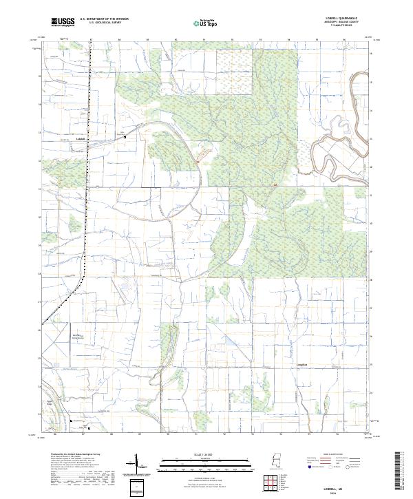
2024 Lobdell
Bolivar County, MS
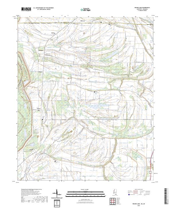
2024 Round Lake
Bolivar County, MS
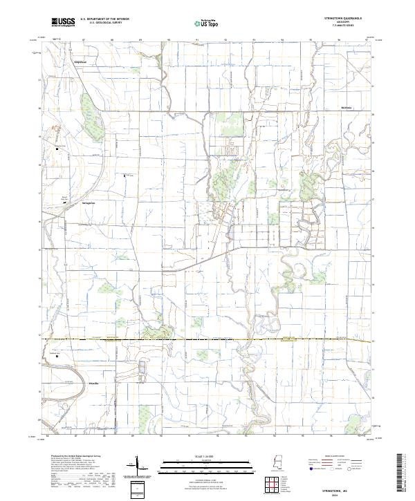
2024 Stringtown
Bolivar County, MS