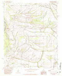
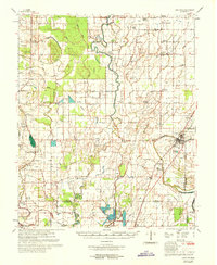
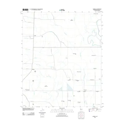
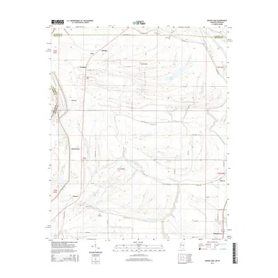
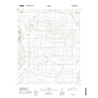
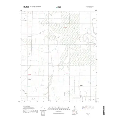
1982 Map of Round Lake
USGS Topo · Published 1982About this map
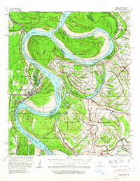
Hushpuckena River meanders through the fertile bottomlands along the boundary of Coahoma and Bolivar counties, defining a landscape shaped by the shifting course of the Mississippi River. In the early 1980s, this region remained a patchwork of delta drainage and rail-side settlements like Hushpuckena and Deeson. The Illinois Central Gulf railroad serves as the primary north-south corridor, anchoring several small communities and their local institutions.
Find a feature on this map
41 named features on this map. Tap any name to fly to it.
Don’t see what you’re looking for? This feature index may not catch every label — zoom into the map to look around manually.
Map Details
Editions of this 1982 Round Lake Map
This is the sole edition of this map. No revisions or reprints were ever made.
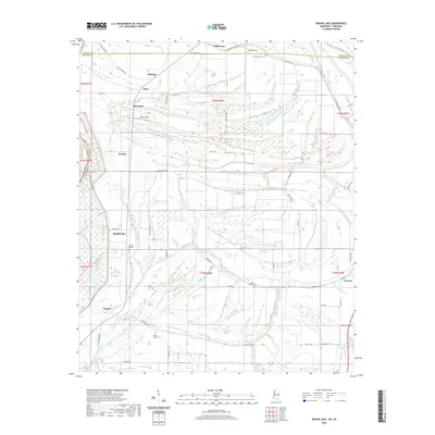
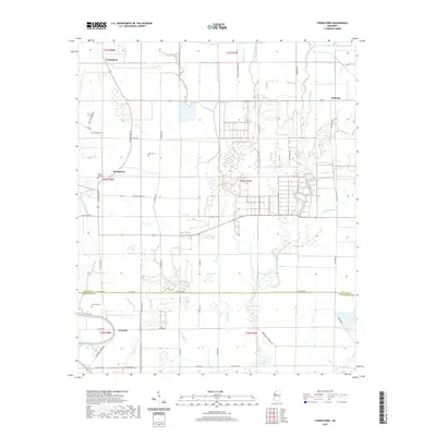
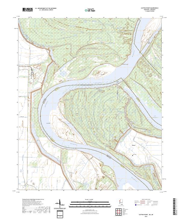
Historical Maps of Duncan Through Time
28 maps found

1939 Choctaw
Bolivar County, MS
1939 Lamont
Bolivar County, MS
1967 Lobdell
Bolivar County, MS
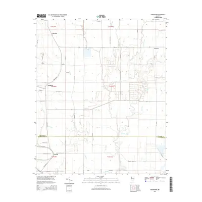
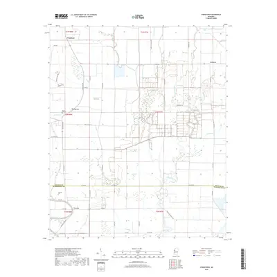
1967 Stringtown
Bolivar County, MS
1969 Choctaw
Bolivar County, MS
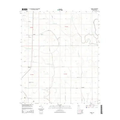
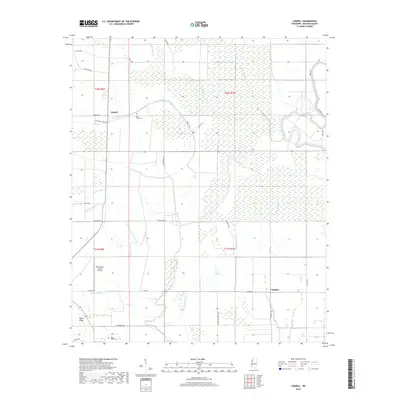
1982 Round Lake
Bolivar County, MS
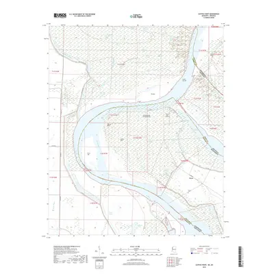
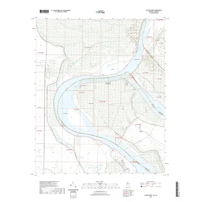
2011 Catfish Point
Bolivar County, MS
2011 Round Lake
Bolivar County, MS
2012 Catfish Point
Bolivar County, MS
2012 Lobdell
Bolivar County, MS
2012 Round Lake
Bolivar County, MS
2012 Stringtown
Bolivar County, MS
2015 Catfish Point
Bolivar County, MS
2015 Lobdell
Bolivar County, MS
2015 Round Lake
Bolivar County, MS
2015 Stringtown
Bolivar County, MS
2018 Catfish Point
Bolivar County, MS
2018 Lobdell
Bolivar County, MS
2018 Round Lake
Bolivar County, MS
2018 Stringtown
Bolivar County, MS
2020 Catfish Point
Bolivar County, MS
2020 Lobdell
Bolivar County, MS
2020 Round Lake
Bolivar County, MS
2020 Stringtown
Bolivar County, MS
2024 Catfish Point
Bolivar County, MS
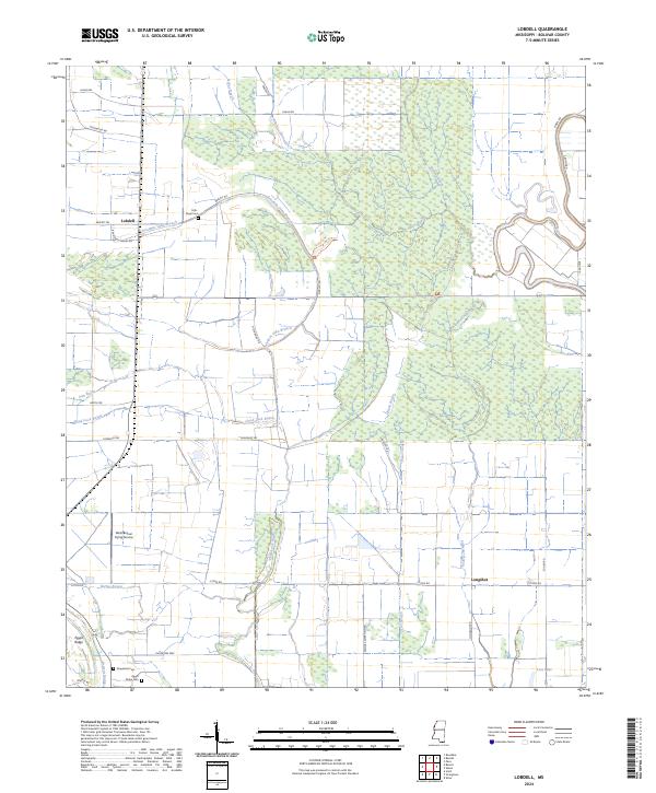
2024 Lobdell
Bolivar County, MS
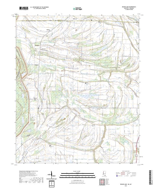
2024 Round Lake
Bolivar County, MS
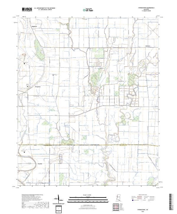
2024 Stringtown
Bolivar County, MS