Loading...
Loading map...1954 Map of Lamont
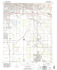
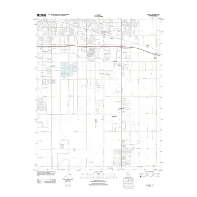
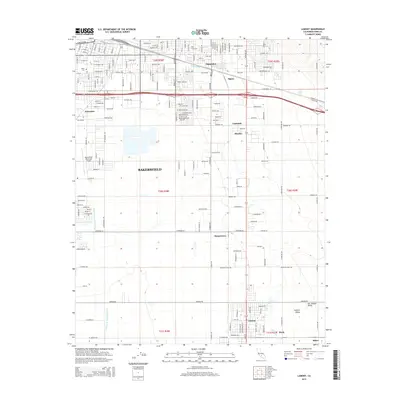
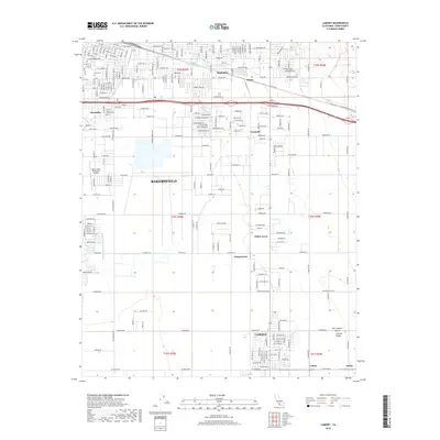
USGS Topo · Published 1976About this map
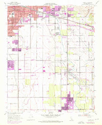
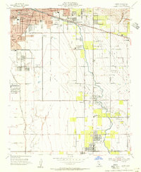
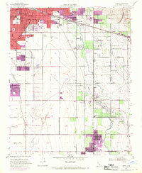
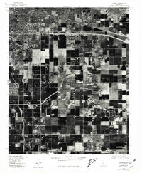
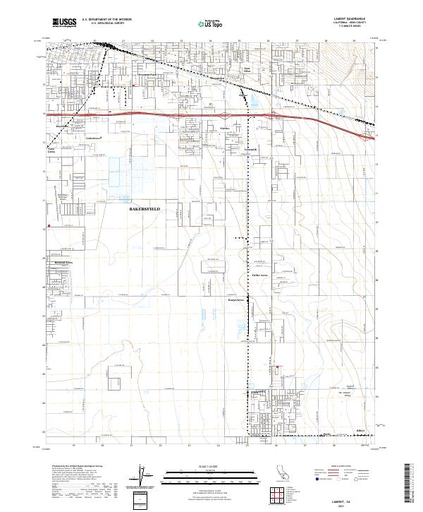
Bakersfield's expanding southeastern fringes meet the industrial landscape of the San Joaquin Valley in this mid-century survey, photorevised in the early 1970s. The transition from urban density to rural oil production is marked by the Edison Oil Field and Mountain View Oil Field, where networks of pipelines and sumps punctuate the landscape. Settlements like Lamont, Fuller Acres, and Magunden are positioned alongside major transportation arteries, including the Southern Pacific and the Atchison Topeka and Santa Fe railroads.
Find a feature on this map
54 named features on this map. Tap any name to fly to it.
Don’t see what you’re looking for? This feature index may not catch every label — zoom into the map to look around manually.
Map Details
Date Portrayed1954
Date Published1976
PublisherU.S. Geological Survey
Map TypeTopographic
Scale1:24,000
Physical Dimensions22 x 26.8 inches
Editions of this 1954 Lamont Map
3 editions found
Historical Maps of Bakersfield Through Time
7 maps found
Featured Locations
Source Details
SourceU.S. Geological Survey
CopyrightPublic Domain