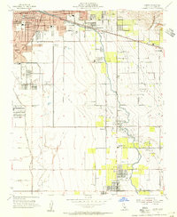
1954 Map of Lamont
USGS Topo · Published 1955About this map
The southeast outskirts of Bakersfield are captured here during a period of significant industrial and agricultural expansion in the mid-1950s. The landscape is defined by the intersection of major petroleum operations and a complex water management system, with the Mountain View Oil Field and Edison Oil Field dominating the central and eastern portions of the quadrangle. An extensive network of irrigation infrastructure, including the East Side Canal and the Kern River Island Canal, underscores the region's reliance on managed water for its development.
Find a feature on this map
48 named features on this map. Tap any name to fly to it.
Don’t see what you’re looking for? This feature index may not catch every label — zoom into the map to look around manually.
Map Details
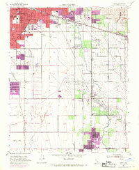
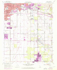
Editions of this 1954 Lamont Map
3 editions found
Other maps of this area

1906 · Bakersfield
USGS Topo · 1:62,500

1910 · Buena Vista Lake
USGS Topo · 1:125,000

1912 · Buena Vista Lake
USGS Topo · 1:125,000

1914 · Caliente
USGS Topo · 1:125,000

1929 · Fairfax School
USGS Topo · 1:31,680

1930 · Weed Patch
USGS Topo · 1:31,680

1930 · Arvin
USGS Topo · 1:31,680

1930 · Conner
USGS Topo · 1:31,680

1930 · Oildale
USGS Topo · 1:31,680

1931 · Edison
USGS Topo · 1:31,680