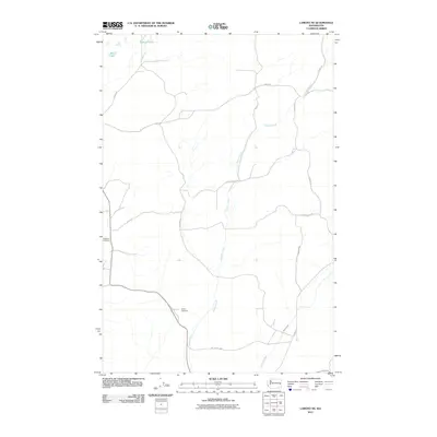
2011 Map of Lamont NE
USGS Topo · Published 2011About this map
Imbler Creek meanders through this agricultural landscape in Whitman County, forming a central drainage corridor that defines the local topography. The area is characterized by a network of rural routes named for early settling families, including Gibson Rd, Glorfield Rd, and Stoner Rd. For family historians and genealogists, the map provides precise locations for two significant burial sites: Grisham Cemetery in the west and Caylor Cemetery situated further south near the creek. In the northern reaches, Stoner Lake and Big Lake provide the primary water features in an otherwise dry upland region. The presence of the Old State Hwy tracing the southern edge of the quadrangle offers a look at the earlier transportation infrastructure that preceded the modern road grid.
Find a feature on this map
18 named features on this map. Tap any name to fly to it.
Don’t see what you’re looking for? This feature index may not catch every label — zoom into the map to look around manually.
Map Details
Editions of this 2011 Lamont NE Map
This is the sole edition of this map. No revisions or reprints were ever made.
Other maps of this area

1954 · Cheney
USGS Topo · 1:62,500

1954 · Sprague
USGS Topo · 1:62,500

1955 · Spokane
USGS Topo · 1:250,000

1958 · Spokane
USGS Topo · 1:250,000

1964 · Lamont NE
USGS Topo · 1:24,000

1964 · Lamont NW
USGS Topo · 1:24,000

1964 · Rock Lake
USGS Topo · 1:24,000

1964 · Texas Lake
USGS Topo · 1:24,000

1964 · Revere
USGS Topo · 1:24,000

1964 · Ewan
USGS Topo · 1:24,000