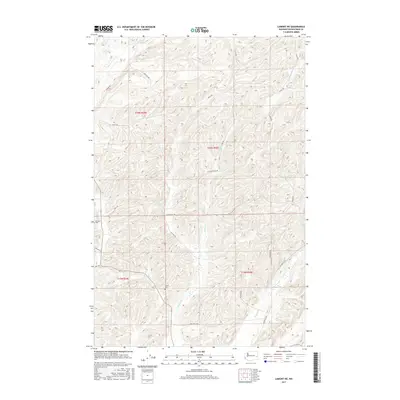
2017 Map of Lamont NE
USGS Topo · Published 2017About this map
The rolling scablands and drainage basins of Washington's Palouse region define this area north of Lamont. For genealogists and local historians, the Caylor Cem and Grisham Cem provide important touchpoints for early settler history in Whitman County. The landscape is characterized by a network of seasonal watercourses and small basins, including Stoner Lake and Big Lake, which feed into Imbler Cr and Packer Cr. The map details the rural infrastructure of the early 21st century, showing how modern county roads like Wiltzius Rd and Dewey Rd follow the section lines and terrain contours established long ago. Traces of older transit routes remain visible, such as the Old State Hwy, which parallels the modern road network in the southern portion of the quadrangle.
Find a feature on this map
24 named features on this map. Tap any name to fly to it.
Don’t see what you’re looking for? This feature index may not catch every label — zoom into the map to look around manually.
Map Details
Editions of this 2017 Lamont NE Map
This is the sole edition of this map. No revisions or reprints were ever made.
Other maps of this area

1954 · Cheney
USGS Topo · 1:62,500

1954 · Sprague
USGS Topo · 1:62,500

1955 · Spokane
USGS Topo · 1:250,000

1958 · Spokane
USGS Topo · 1:250,000

1964 · Lamont NE
USGS Topo · 1:24,000

1964 · Lamont NW
USGS Topo · 1:24,000

1964 · Rock Lake
USGS Topo · 1:24,000

1964 · Texas Lake
USGS Topo · 1:24,000

1964 · Revere
USGS Topo · 1:24,000

1964 · Ewan
USGS Topo · 1:24,000